Severe Thunderstorm Watch issued March 31 at 6:02PM EDT until April 1 at 12:00AM EDT by NWS Wilmington OH (details ...)
THE NATIONAL WEATHER SERVICE HAS ISSUED SEVERE THUNDERSTORM WATCH 82 IN EFFECT UNTIL MIDNIGHT EDT TONIGHT FOR THE FOLLOWING AREAS
IN OHIO THIS WATCH INCLUDES 3 COUNTIES
IN WEST CENTRAL OHIO
AUGLAIZE HARDIN MERCER
THIS INCLUDES THE CITIES OF ADA, CELINA, COLDWATER, KENTON, MINSTER, NEW BREMEN, ST. MARYS, AND WAPAKONETA.
Special Weather Statement issued March 31 at 9:16PM EDT by NWS Wilmington OH (details ...)
At 916 PM EDT, a strong thunderstorm was located over Lima, moving east at 55 mph.
HAZARD...Wind gusts up to 40 mph and pea size hail.
SOURCE...Radar indicated.
IMPACT...Gusty winds could knock down tree limbs and blow around unsecured objects. Hail may cause minor damage to vegetation.
Locations impacted include... Kenton, Ada, Fort Shawnee, Cridersville, Forest, Dunkirk, Alger, Waynesfield, Blanchard, Mount Victory, Mcguffey, Patterson, Dola, Grant, Silver Creek, Jumbo, Huntersville, Pfeiffer, Walton, and Hepburn.
This includes I-75 in Ohio between mile markers 117 and 118.
If outdoors, consider seeking shelter inside a sturdy building.
A Severe Thunderstorm Watch remains in effect until midnight EDT for west central Ohio.
To report hazardous weather conditions, go to our website at weather.gov/iln and submit your report via social media, when you can do so safely.
47° 47° chance Wed 57° Wed 57° 44° 44° chance Thu 77° Thu 77° chance slight chance
Saturday, March 24th, 2018
Photo by Daily Standard Staff

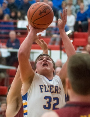
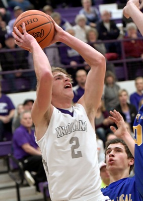
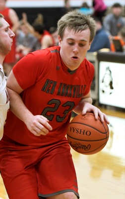
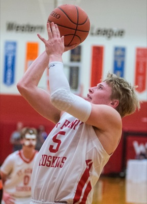
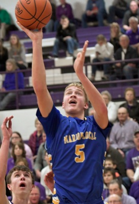
Boys Basketball Dream Team Player of the Year: Tyler Mescher, Marion Local, 15.7 ppg, 6.0 rpg, 59.4% FG

Additional pictures on this date