Heat Advisory issued June 21 at 2:21AM EDT until June 24 at 8:00PM EDT by NWS Wilmington OH (details ...)
* WHAT...Heat index values up to 103 expected.
* WHERE...Portions of east central and southeast Indiana, northeast and northern Kentucky, and central, south central, southwest, and west central Ohio.
* WHEN...From noon Sunday to 8 PM EDT Tuesday.
* IMPACTS...Hot temperatures and high humidity may cause heat illnesses.
* ADDITIONAL DETAILS...Consecutive days of excessive heat and humidity can be especially hazardous as warm overnight temperatures will provide little relief. The heat may continue into Wednesday.
68° 68° Sat 89° Sat 89° 75° 75° Sun 93° Sun 93°
Saturday, May 18th, 2019
Photo by Ryan Snyder/The Daily Standard

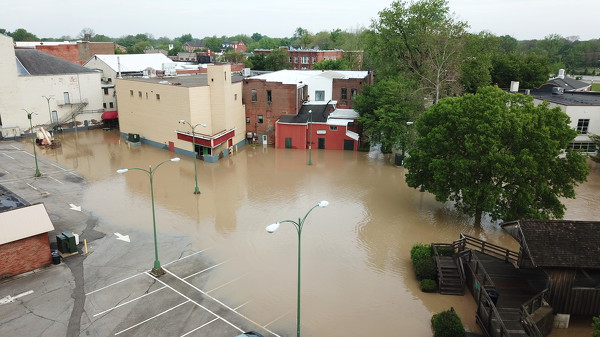
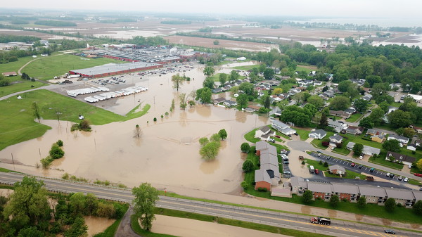
Floodwater from the St. Marys River rose to the lower levels of buildings on East Spring Street in St. Marys on Friday morning. The building on the right is the one city officials would like to purchase to use as a new municipal building.

Related online story:
St. MARYS - Heavy rainfall and hail pounded Mercer and Auglaize counties Thursday night into Friday morning, causing extensive flooding and one local school district to close for the day. [More]
Additional pictures on this date