Freeze Warning issued April 6 at 12:18PM EDT until April 7 at 10:00AM EDT by NWS Wilmington OH (details ...)
* WHAT...Sub-freezing temperatures as low as 26 expected. * WHERE...Portions of east central and southeast Indiana and central, south central, southwest, and west central Ohio. * WHEN...From 1 AM to 10 AM EDT Tuesday. * IMPACTS...Frost and freeze conditions could kill crops, other sensitive vegetation and possibly damage unprotected outdoor plumbing.
Tuesday, February 1st, 2022
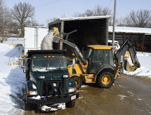
File Photo/The Daily Standard
Area workers get ready for a previous snow storm in this file photo.
Mercer and Auglaize counties are in a winter storm watch effective Wednesday morning through Friday morning, according to the Wilmington office of the National Weather Service, as a foot of snow and a quarter inch of ice are forecast. [More]