Flood Advisory issued July 27 at 1:10PM EDT until July 27 at 4:15PM EDT by NWS Wilmington OH (details ...)
* WHAT...Flooding caused by excessive rainfall is expected. * WHERE...The following counties, in west central Ohio, Auglaize and Mercer. * WHEN...Until 415 PM EDT. * IMPACTS...Minor flooding in low-lying and poor drainage areas. * ADDITIONAL DETAILS... - At 110 PM EDT, radar indicated heavy rain due to thunderstorms. Minor flooding is ongoing or expected to begin shortly in the advisory area. Between 1 and 2 inches of rain have fallen. Additional rainfall amounts of 0.5 to 1 inch are possible. - Some locations that may experience flooding include... Coldwater, New Bremen, Minster, St. Henry, Fort Recovery, New Knoxville, Chickasaw, Montezuma, Carthagena and Maria Stein.
Flash Flood Warning issued July 27 at 1:08PM EDT until July 27 at 4:00PM EDT by NWS Wilmington OH (details ...)
FFWILN The National Weather Service in Wilmington has issued a * Flash Flood Warning for... West Central Auglaize County in west central Ohio... Northeastern Shelby County in west central Ohio... * Until 400 PM EDT. * At 108 PM EDT, trained weather spotters reported flash flooding across the warned area. Between 2.5 and 3.5 inches of rain have fallen. Additional rainfall amounts of 0.5 to 1.5 inches are possible. HAZARD...Flash flooding caused by thunderstorms. SOURCE...Trained spotters reported. IMPACT...Flash flooding of small creeks and streams, urban areas, highways, streets and underpasses as well as other poor drainage and low-lying areas. * Some locations that may experience flash flooding include... Anna, Jackson Center, Botkins, New Knoxville, Kettlersville, Montra, Mccartyville and Maplewood.
Special Weather Statement issued July 27 at 12:58PM EDT by NWS Wilmington OH (details ...)
At 1258 PM EDT, a strong thunderstorm was located near Anna, moving southeast at 20 mph. HAZARD...Wind gusts up to 50 mph and very heavy rain. SOURCE...Radar indicated. IMPACT...Gusty winds could knock down tree limbs and blow around unsecured objects. Visibility will be poor and hydroplaning is possible. Locations impacted include... Sidney, Minster, Anna, Fort Loramie, Jackson Center, Botkins, Hardin, Port Jefferson, Kettlersville, Montra, Newbern, Lake Loramie State Park, Maplewood, Mccartyville, Swanders, and Bloom Center. This includes I-75 in Ohio between mile markers 87 and 107. If outdoors, consider seeking shelter inside a sturdy building. Motorists should slow down and use extra caution. To report hazardous weather conditions, go to our website at weather.gov/iln and submit your report via social media, when you can do so safely.
Wednesday, July 2nd, 2025
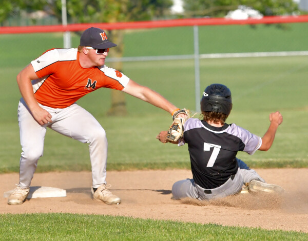
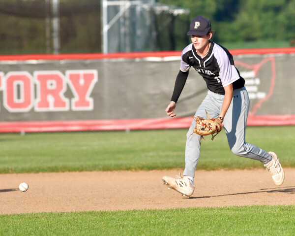
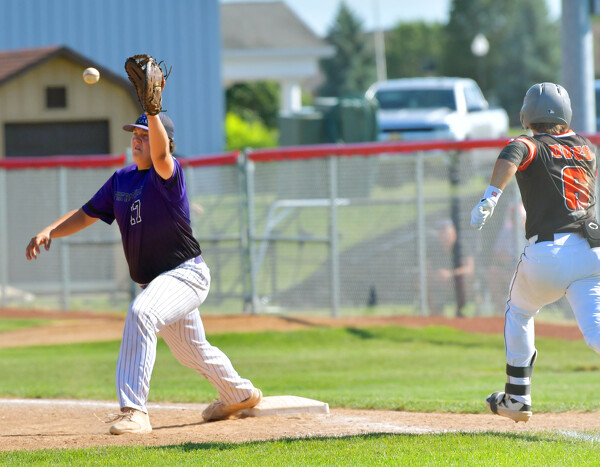
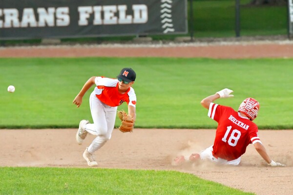
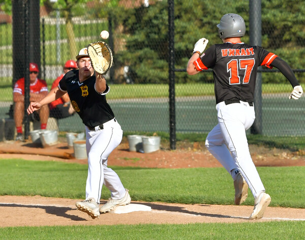
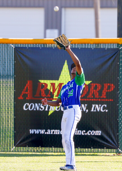
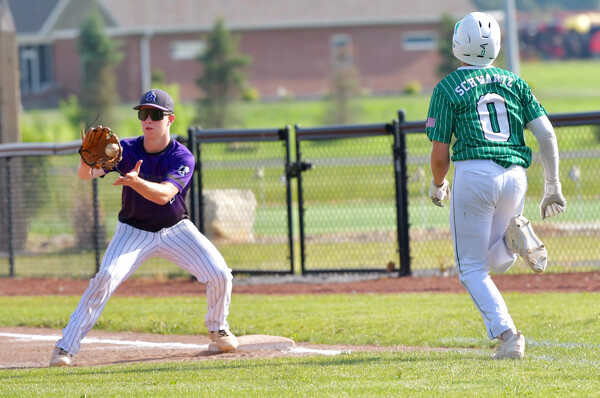
Photo by Nick Wenning/The Daily Standard
Minster's Reese Beair applies the tag to Troy Miller as part of a strikeout/throw out double play.