Special Weather Statement issued May 1 at 12:13PM EDT by NWS Wilmington OH (details ...)
At 1212 PM EDT, a strong thunderstorm was located near New Bremen, moving northeast at 50 mph.
HAZARD...Wind gusts up to 45 mph and pea size hail.
SOURCE...Radar indicated.
IMPACT...Gusty winds could knock down tree limbs and blow around unsecured objects. Hail may cause minor damage to vegetation.
Locations impacted include... Newport, Fryburg, Montra, Egypt, Uniopolis, New Bremen, Buckland, Botkins, New Knoxville, Fort Loramie, Kettlersville, Moulton, Jackson Center, St. Marys, Anna, Kossuth, Lakeview, Lake Loramie State Park, Waynesfield, and Wapakoneta.
This includes I-75 in Ohio between mile markers 96 and 118.
If outdoors, consider seeking shelter inside a sturdy building.
To report hazardous weather conditions, go to our website at weather.gov/iln and submit your report via social media, when you can do so safely.
Today 74° Today 74° 58° 58° chance Tomorrow 71° Tomorrow 71° chance 54° 54° chance
Monday, January 14th, 2008
Blowing and snowing
Photo by Shelley Grieshop/The Daily Standard

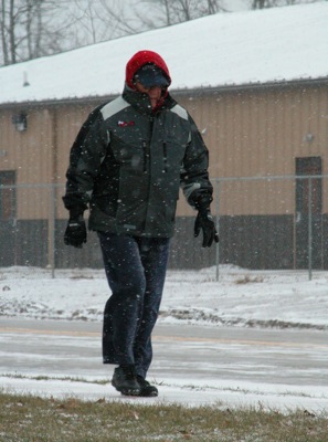
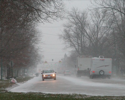
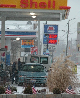
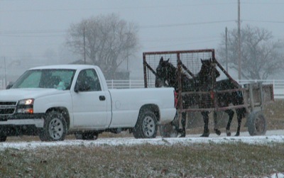
Gene Reichert is bundled up during a chilly walk this morning along Summit Street, not far from his home in Celina. Flurries are expected to stay in the area for another day and return near the end of the week. No notable accumulation of snow is expected. Snow flurries, which have dusted the Grand Lake area since Sunday, will continue through Tuesday with highs of 31 expected today and Tuesday, according to local weather forecaster Dennis Howick.

Additional pictures on this date