Severe Thunderstorm Watch issued March 31 at 6:02PM EDT until April 1 at 12:00AM EDT by NWS Wilmington OH (details ...)
THE NATIONAL WEATHER SERVICE HAS ISSUED SEVERE THUNDERSTORM WATCH 82 IN EFFECT UNTIL MIDNIGHT EDT TONIGHT FOR THE FOLLOWING AREAS
IN OHIO THIS WATCH INCLUDES 3 COUNTIES
IN WEST CENTRAL OHIO
AUGLAIZE HARDIN MERCER
THIS INCLUDES THE CITIES OF ADA, CELINA, COLDWATER, KENTON, MINSTER, NEW BREMEN, ST. MARYS, AND WAPAKONETA.
47° 47° chance Wed 57° Wed 57° 44° 44° chance Thu 77° Thu 77° chance slight chance
Friday, July 18th, 2008
Playing on the lake
Photo by Mark Pummell/The Daily Standard

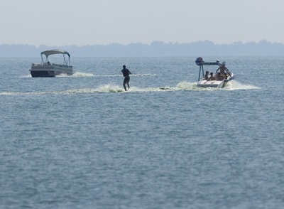
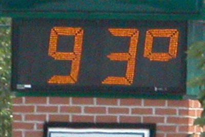
A skier glides past a pontoon boat on Grand Lake this week. State park officials this morning reported bacteria levels where within limits, even with the recent heat wave. Forecasters are calling for highs in the upper 80s and 90s today and Saturday.

Additional pictures on this date