Freeze Warning issued April 7 at 7:47PM EDT until April 8 at 10:00AM EDT by NWS Wilmington OH (details ...)
* WHAT...Sub-freezing temperatures in the upper 20s to lower 30s are likely. * WHERE...Portions of east central and southeast Indiana, northeast and northern Kentucky, and central, south central, southwest, and west central Ohio. * WHEN...From 11 PM this evening to 10 AM EDT Wednesday. * IMPACTS...Frost and freeze conditions could kill crops and other sensitive vegetation.
Friday, August 15th, 2008
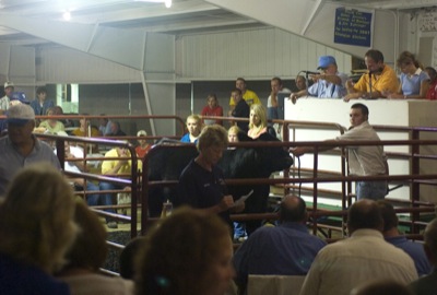
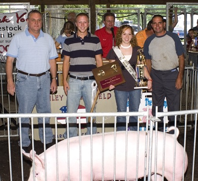
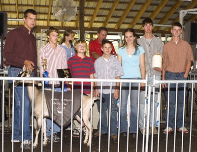
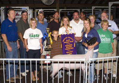
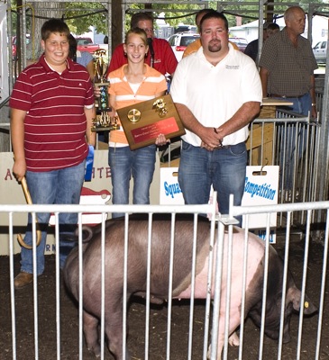
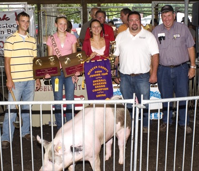
Mercer County Fair livestock auction
Photo by Mark Pummell/The Daily Standard
Jenna Jutte of the Fort Recovery FFA sold her Grand Champion Market Lamb for a record $2,400 Thursday.