Flood Watch issued August 14 at 9:48PM EDT until August 16 at 8:00AM EDT by NWS Wilmington OH (details ...)
* WHAT...Flash flooding caused by excessive rainfall continues to be possible.
* WHERE...Portions of Indiana, including the following counties, Fayette, Franklin, Union and Wayne and Ohio, including the following counties, Auglaize, Butler, Champaign, Clark, Clinton, Darke, Delaware, Fairfield, Fayette, Franklin, Greene, Hardin, Hocking, Licking, Logan, Madison, Mercer, Miami, Montgomery, Pickaway, Preble, Ross, Shelby, Union and Warren.
* WHEN...From Saturday afternoon through Sunday morning.
* IMPACTS...Excessive runoff may result in flooding of rivers, creeks, streams, and other low-lying and flood-prone locations.
* ADDITIONAL DETAILS... - Another round of showers and thunderstorms is expected to move through the region Saturday into Saturday night. Additional heavy rainfall may result in flash flooding.
67° 67° Sat 84° Sat 84° slight chance likely 72° 72° likely Sun 86° Sun 86° chance
Wednesday, April 7th, 2010
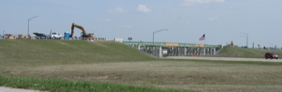
Bridge work
Photo by Shelley Grieshop/The Daily Standard

Work continues on the bridge at the U.S. 33 interchange in St. Marys. Traffic is being detoured around the bridge from March 15 through July 31 for a deck replacement. The four-lane state Route 29 will remain open with periodic lane restrictions.


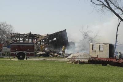
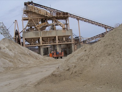
Additional pictures on this date