Severe Thunderstorm Watch issued April 14 at 5:01PM EDT until April 14 at 10:00PM EDT by NWS Wilmington OH (details ...)
THE NATIONAL WEATHER SERVICE HAS ISSUED SEVERE THUNDERSTORM WATCH 112 IN EFFECT UNTIL 10 PM EDT THIS EVENING FOR THE FOLLOWING AREAS
IN INDIANA THIS WATCH INCLUDES 4 COUNTIES
IN EAST CENTRAL INDIANA
FAYETTE UNION WAYNE
IN SOUTHEAST INDIANA
FRANKLIN
IN OHIO THIS WATCH INCLUDES 7 COUNTIES
IN WEST CENTRAL OHIO
AUGLAIZE DARKE MERCER MIAMI MONTGOMERY PREBLE SHELBY
THIS INCLUDES THE CITIES OF BROOKVILLE, CAMDEN, CELINA, COLDWATER, CONNERSVILLE, DOWNTOWN DAYTON, EATON, GREENVILLE, KETTERING, LIBERTY, MINSTER, NEW BREMEN, PIQUA, RICHMOND, SIDNEY, ST. MARYS, TIPP CITY, TROY, WAPAKONETA, AND WEST COLLEGE CORNER.
Today 82° Today 82° chance 67° 67° chance Tomorrow 83° Tomorrow 83° likely 66° 66° likely
Wednesday, June 16th, 2010
Photo by Shelley Grieshop/The Daily Standard

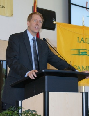
Ken Goettemoeller of First Financial Bank, Celina, speaks to the public about preventing identity theft. Also standing Auglaize County Sheriff Al Solomon, left, U.S. Federal Trade Commission representative Kate Caffie and Mercer County Sheriff Jeff Grey.

Related online story:
CELINA - Wherever we go - the mall, grocery stores, restaurants - we're asked for information.
Name, address, phone number, e-mail address, Social [More]
Additional pictures on this date