Heat Advisory issued June 29 at 2:18PM EDT until July 2 at 8:00PM EDT by NWS Wilmington OH (details ...)
* WHAT...Heat index values up to 105. * WHERE...Portions of east central and southeast Indiana, northern Kentucky, and south central, southwest, and west central Ohio. * WHEN...Until 8 PM EDT Thursday. * IMPACTS...Hot temperatures and high humidity may cause heat illnesses. * ADDITIONAL DETAILS...Lows in the mid 70s will provide little relief at night.
Wednesday, October 1st, 2014
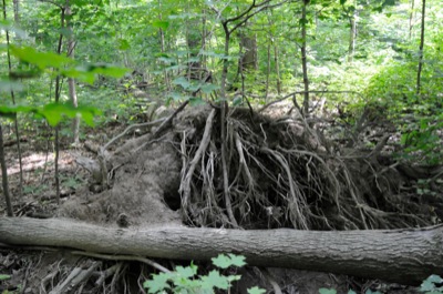
Photo by William Kincaid/The Daily Standard
The cycle of life continues at Baker Woods State Nature Preserve as an ash tree lies toppled after being blown over by a recent wind.
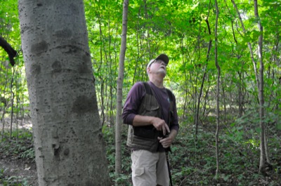
COLDWATER - For the last five years, Ron Westgerdes has regularly traversed the 47 acres of swamp forest known as Baker Woods State Nature Preserve. [More]