Freeze Warning issued October 17 at 2:54PM EDT until October 18 at 9:00AM EDT by NWS Wilmington OH (details ...)
* WHAT...Sub-freezing temperatures in the upper 20s and lower 30s expected. * WHERE...Portions of East Central and Southeast Indiana, Northeast and Northern Kentucky, and Central, South Central, Southwest, and West Central Ohio. * WHEN...From 1 AM to 9 AM EDT Sunday. * IMPACTS...Frost and freeze conditions could kill crops, other sensitive vegetation and possibly damage unprotected outdoor plumbing.
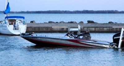
CELINA - The seven boats dock, and teams of anglers plod to the weigh-in station at the Eagles Lodge. The usual Thursday night crowd is a little smaller because of the unseasonable chill, but the diehards are there.
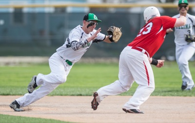
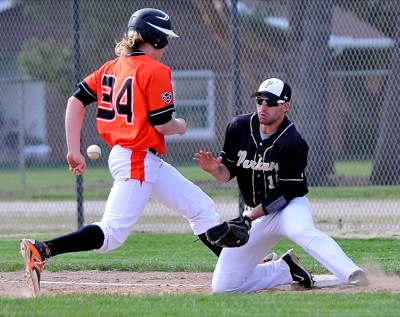
St. Marys scored three runs in the top of the fifth to go in front and added a run in the seventh to remain unbeaten in WBL baseball action with a 4-2 win at Bath on Friday.