Flood Watch issued August 14 at 9:48PM EDT until August 16 at 8:00AM EDT by NWS Wilmington OH (details ...)
* WHAT...Flash flooding caused by excessive rainfall continues to be possible.
* WHERE...Portions of Indiana, including the following counties, Fayette, Franklin, Union and Wayne and Ohio, including the following counties, Auglaize, Butler, Champaign, Clark, Clinton, Darke, Delaware, Fairfield, Fayette, Franklin, Greene, Hardin, Hocking, Licking, Logan, Madison, Mercer, Miami, Montgomery, Pickaway, Preble, Ross, Shelby, Union and Warren.
* WHEN...From Saturday afternoon through Sunday morning.
* IMPACTS...Excessive runoff may result in flooding of rivers, creeks, streams, and other low-lying and flood-prone locations.
* ADDITIONAL DETAILS... - Another round of showers and thunderstorms is expected to move through the region Saturday into Saturday night. Additional heavy rainfall may result in flash flooding.
67° 67° Sat 84° Sat 84° slight chance likely 72° 72° likely Sun 86° Sun 86° chance
Thursday, June 18th, 2015
Photo by Aaron Snyder/The Daily Standard

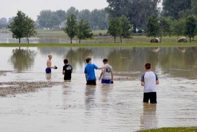
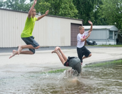
Some boys on Wednesday play in a new pond behind Hogenkamp Funeral Home in Coldwater. The area is normally a gravel parking lot but the adjacent Coldwater Creek overflowed its banks, creating the body of water.

Related online story:

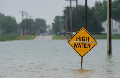
CELINA - The rain just keeps falling and relief doesn't appear to be on the way until next week.
Mercer County Commissioners Wednesday declared a state of emergency due to the torrential rain and flooding that have recently hit the area. [More]
Additional pictures on this date