The Daily Standard
Pictures Archive
Menu
▼
Home
Subscribe
E-Edition
Archives
▼
Archives
Obituary Archives
Photo Albums
Podcasts
▼
Podcasts
Video
Classifieds
▼
Classifieds
Public Notices
Weather
Sports
More
▼
Contacts
Advertising
Subscription Payment
Community Pictures
Historical Maps
Forms
Locations
Elections
Today
68°
Today
68°
widespread
41°
41°
Tomorrow
68°
Tomorrow
68°
45°
45°
Wednesday, December 16th, 2015
Photo by Mark Pummell/The Daily Standard
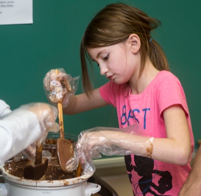
New Bremen fourth-grader Jazmin Feaster dips a pretzel into chocolate.
Related online story:
Pretzel venture lets students taste success
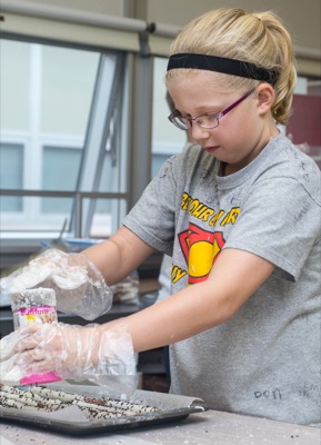
NEW BREMEN - More than 1,500 chocolate-dipped pretzels have turned fourth-graders into budding entrepreneurs.
The students this week made, advertised and sold the sweet desserts as part of a unit on entrepreneurialism. [
More
]
Purchase a print of this photo.
Archive of December 16th, 2015
Buy this E-Edition
Additional pictures on this date
<!--Unsupported browser-->
Copyright © 2026 Standard Printing Co. All Rights Reserved