The Daily Standard
Pictures Archive
Menu
▼
Home
Subscribe
E-Edition
Archives
▼
Archives
Obituary Archives
Photo Albums
Podcasts
▼
Podcasts
Video
Classifieds
▼
Classifieds
Public Notices
Weather
Sports
More
▼
Contacts
Advertising
Subscription Payment
Community Pictures
Historical Maps
Forms
Locations
Elections
Today
84°
Today
84°
67°
67°
Tomorrow
88°
Tomorrow
88°
66°
66°
chance
Tuesday, April 19th, 2016
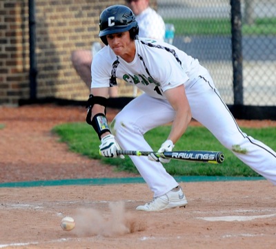
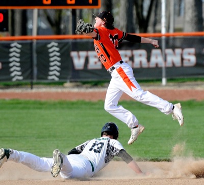
Photo by Nick Wenning/The Daily Standard
Celina's Seth Lonsway allowed just one hit in 5 2/3 innings in a tough 2-1 loss to Coldwater.
Related online story:
Cavs outlast Bulldogs
COLDWATER - Monday's Mercer County baseball battle between Celina and Coldwater had a little bit of everything: a pitcher's duel, strange ways to record putouts and a mix of great and not-so-great defensive efforts. [
More
]
Purchase a print of this photo.
Archive of April 19th, 2016
Buy this E-Edition
Additional pictures on this date
<!--Unsupported browser-->
Copyright © 2026 Standard Printing Co. All Rights Reserved