The Daily Standard
Pictures Archive
Menu
▼
Home
Subscribe
E-Edition
Archives
▼
Archives
Obituary Archives
Photo Albums
Podcasts
▼
Podcasts
Video
Classifieds
▼
Classifieds
Public Notices
Weather
Sports
More
▼
Contacts
Advertising
Subscription Payment
Community Pictures
Historical Maps
Forms
Locations
Elections
Today
70°
Today
70°
48°
48°
Tomorrow
71°
Tomorrow
71°
51°
51°
Monday, November 7th, 2016
Photo by Colin Foster/The Daily Standard
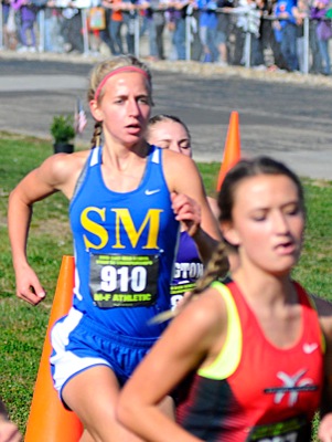
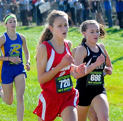
St. Marys' Kelly Wilker, center, ran a personal best to finish 22nd in the Division II race.
Related online story:
Minster girls are golden again
HEBRON - Three straight times - twice at the state track and field meet, once at the state cross country meet - the Minster girls stood on the podium in frustration after finishing runner-up behind St. Thomas Aquinas. [
More
]
Purchase a print of this photo.
Archive of November 7th, 2016
Buy this E-Edition
Additional pictures on this date
<!--Unsupported browser-->
Copyright © 2026 Standard Printing Co. All Rights Reserved