Severe Thunderstorm Warning issued August 11 at 7:57AM EDT until August 11 at 9:00AM EDT by NWS Wilmington OH (details ...)
SVRILN
The National Weather Service in Wilmington has issued a
* Severe Thunderstorm Warning for... Northern Wayne County in east central Indiana... Darke County in west central Ohio... Southwestern Mercer County in west central Ohio...
* Until 900 AM EDT.
* At 756 AM EDT, severe thunderstorms were located along a line extending from near Fort Recovery to 7 miles northwest of Muncie, moving south at 40 mph.
HAZARD...60 mph wind gusts.
SOURCE...Radar indicated.
IMPACT...Expect damage to trees and power lines.
* Locations impacted include... Richmond, Greenville, Centerville, Arcanum, Hagerstown, Union City, Fort Recovery, Ansonia, New Madison, Fountain City, Dublin, Franklin, Wayne Lakes, Gettysburg, Greens Fork, Pitsburg, Bethel, Hollansburg, Rossburg, and Palestine.
This includes I-70 in Indiana between mile markers 134 and 148.
Flood Watch issued August 11 at 4:12AM EDT until August 12 at 8:00AM EDT by NWS Wilmington OH (details ...)
* WHAT...Flash flooding caused by excessive rainfall continues to be possible.
* WHERE...Portions of Indiana, including the following counties, Dearborn, Fayette, Franklin, Union and Wayne, Kentucky, including the following counties, Boone, Bracken, Campbell, Kenton, Lewis, Mason, Pendleton and Robertson, and Ohio, including the following counties, Adams, Auglaize, Brown, Butler, Champaign, Clark, Clermont, Clinton, Darke, Delaware, Fairfield, Fayette, Franklin, Greene, Hamilton, Hardin, Highland, Hocking, Licking, Logan, Madison, Mercer, Miami, Montgomery, Pickaway, Pike, Preble, Ross, Scioto, Shelby, Union and Warren.
* WHEN...Through Wednesday morning.
* IMPACTS...Excessive runoff may result in flooding of rivers, creeks, streams, and other low-lying and flood-prone locations.
* ADDITIONAL DETAILS... - Several rounds of thunderstorms are expected into Wednesday morning. Locally heavy rainfall can be expected with the potential for storms to repeatedly track over the same locations. This will result in the potential for flash flooding.
Today 83° Today 83° chance 66° 66° chance Tomorrow 83° Tomorrow 83° slight chance slight chance 66° 66° chance likely
Monday, November 14th, 2016
Photo by Nick Wenning/The Daily Standard

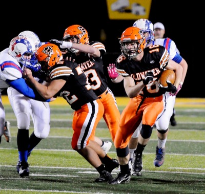
Coldwater's Neal Muhlenkamp, 16, gets a block from teammate Spencer Kuess during Saturday's Division V regional semifinal game against Greenview at Sidney Memorial Stadium.

Related online story:


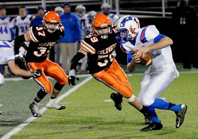
SIDNEY - With 3:38 left in the first half, Coldwater trailed Greenview 17-0 thanks to an interception, a bad punt snap and a three-and-out series.
Most teams would have panicked. Coldwater just went to work. [More]
Additional pictures on this date