Decision 2017
CELINA - A number of liquor issues will be determined in the upcoming Nov. 7 election.
Voters in Celina C 3.1 Precinct will decide whether to allow
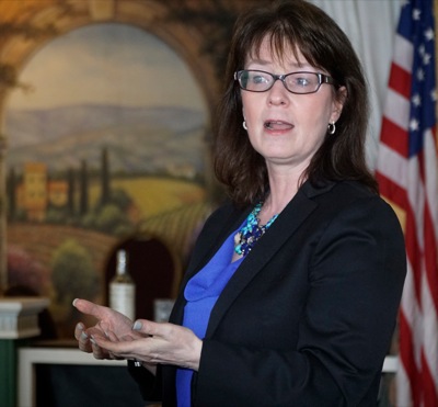
CELINA - Of the roughly 3.5 million lawsuits filed each year across the state, only about 100 are taken up by the Ohio Supreme Court, Justice Judith French told Celina Rotarians this week.
Meeting to be held in November to notify residents
CHICKASAW - Village residents' water rates could more than double in the near future to help pay for the proposed water plant project.
Council memb
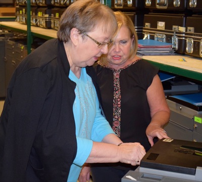
WAPAKONETA - Auglaize County Board of Elections members tested voting machines on Wednesday to prepare for the Nov. 7 election.
Early voting for the election began on Wednesday.
NEW BREMEN - The school district's five-year financial forecast shows diminishing revenue and increasing expenses each year that could lead to deficit spending of as much as $1.5 million by 2022.
St. Anthony Road will be closed between Karch and Burkettsville-St. Henry roads in Butler Township for a culvert replacement, Mercer County Engineer Jim Wiechart said in a news release.
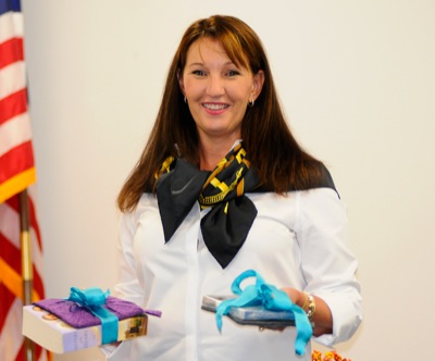
CELINA - The most common question Shelley Shepard Gray, a New York Times-bestselling author of Amish romance novels, fields from fans and interviewers alike is obvious.
College Notes
By Colin Foster and Gary R. Rasberry
sports@dailystandard.com
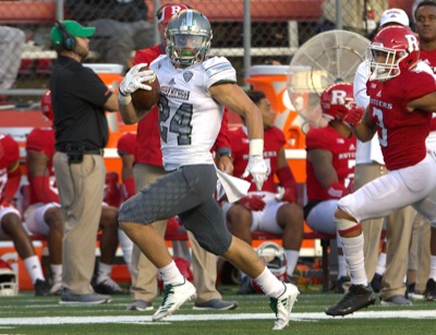
Eastern Michigan will look to snap a three-game losing streak on Saturday as the Eagles travel to West Point, New York, to face Army West Point in non-conference action.
St. Marys had an individual and a doubles team have their seasons ended on Wednesday at the Division II District Tennis Tournament at Perrysburg Tennis Club.
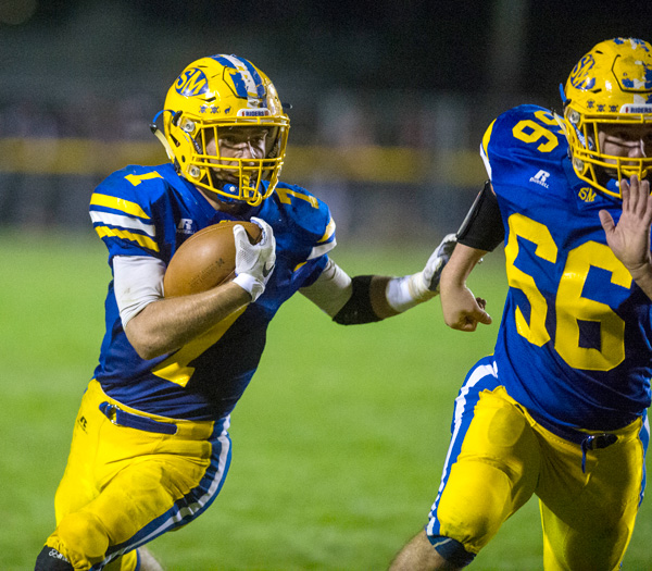
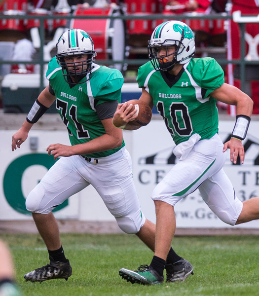
It's not too much of a coincidence, is it, that several factors will converge at Celina Stadium on Friday the 13th?
Celina and St. Marys will face off in the 99th edition of the Battle of Grand Lake on Friday night.
Computer Points Projections
With three more weeks remaining in the high school football regular season, now is the time we can start to make a more realistic attempt to predict where teams will end up in the final standings of the computer points.
Parkway at Anna
Last year: Anna, 47-7. Riley Huelskamp had touchdowns on offense, defense and special teams to lead the way for the Rockets, who opened the game with 47 unanswered points before Caden May found the end zone for the Panthers with 8:31 remaining in the fourth quarter.
Players of the Week
Offense
Will Homan, RB Fort Recovery
25 carries for 317 yards and three touchdowns in Indians' 21-14 win