Severe Thunderstorm Warning issued August 10 at 10:21PM EDT until August 10 at 11:00PM EDT by NWS Wilmington OH (details ...)
SVRILN The National Weather Service in Wilmington has issued a * Severe Thunderstorm Warning for... Northwestern Auglaize County in west central Ohio... Northern Mercer County in west central Ohio... * Until 1100 PM EDT. * At 1020 PM EDT, a severe thunderstorm was located near Monroe, moving southeast at 35 mph. HAZARD...60 mph wind gusts and penny size hail. SOURCE...Radar indicated. IMPACT...Expect damage to trees and power lines. * Locations impacted include... Celina, St. Marys, Rockford, Mendon, Montezuma, Chattanooga, Neptune, Kossuth, State Route 116 at State Route 197, Bulkhead, and Tama.
Severe Thunderstorm Watch issued August 10 at 7:26PM EDT until August 11 at 2:00AM EDT by NWS Wilmington OH (details ...)
THE NATIONAL WEATHER SERVICE HAS ISSUED SEVERE THUNDERSTORM WATCH 560 IN EFFECT UNTIL 2 AM EDT TUESDAY FOR THE FOLLOWING AREAS IN INDIANA THIS WATCH INCLUDES 1 COUNTY IN EAST CENTRAL INDIANA WAYNE IN OHIO THIS WATCH INCLUDES 21 COUNTIES IN CENTRAL OHIO DELAWARE FAIRFIELD FAYETTE FRANKLIN HOCKING LICKING MADISON PICKAWAY UNION IN WEST CENTRAL OHIO AUGLAIZE CHAMPAIGN CLARK DARKE GREENE HARDIN LOGAN MERCER MIAMI MONTGOMERY PREBLE SHELBY THIS INCLUDES THE CITIES OF ADA, BEAVERCREEK, BELLEFONTAINE, CAMDEN, CELINA, CIRCLEVILLE, COLDWATER, DELAWARE, DOWNTOWN COLUMBUS, DOWNTOWN DAYTON, EATON, FAIRBORN, GREENVILLE, KENTON, KETTERING, LANCASTER, LOGAN, LONDON, MARYSVILLE, MINSTER, NEW BREMEN, NEWARK, PICKERINGTON, PIQUA, PLAIN CITY, RICHMOND, SIDNEY, SPRINGFIELD, ST. MARYS, TIPP CITY, TROY, URBANA, WAPAKONETA, WASHINGTON COURT HOUSE, WEST JEFFERSON, AND XENIA.
Flood Watch issued August 10 at 1:04PM EDT until August 12 at 8:00AM EDT by NWS Wilmington OH (details ...)
* WHAT...Flash flooding caused by excessive rainfall is possible. * WHERE...Portions of Indiana, including the following counties, Dearborn, Fayette, Franklin, Union and Wayne, Kentucky, including the following counties, Boone, Bracken, Campbell, Kenton, Lewis, Mason, Pendleton and Robertson, and Ohio, including the following counties, Adams, Auglaize, Brown, Butler, Champaign, Clark, Clermont, Clinton, Darke, Delaware, Fairfield, Fayette, Franklin, Greene, Hamilton, Hardin, Highland, Hocking, Licking, Logan, Madison, Mercer, Miami, Montgomery, Pickaway, Pike, Preble, Ross, Scioto, Shelby, Union and Warren. * WHEN...Through Wednesday morning. * IMPACTS...Excessive runoff may result in flooding of rivers, creeks, streams, and other low-lying and flood-prone locations. * ADDITIONAL DETAILS... - Several rounds of thunderstorms are expected through Tuesday night. Locally heavy rainfall can be expected with the potential for storms to repeatedly track over the same locations. This will result in the potential for flash flooding.
Severe Thunderstorm Warning issued August 10 at 10:23PM EDT until August 10 at 10:30PM EDT by NWS Wilmington OH (details ...)
The severe thunderstorm which prompted the warning has weakened and moved out of the warned area. Therefore, the warning will be allowed to expire. However, gusty winds are still possible with this thunderstorm. A Severe Thunderstorm Watch remains in effect until 200 AM EDT for west central Ohio. Please report previous wind damage or hail to the National Weather Service by going to our website at weather.gov/iln and submitting your report via social media. Remember, another Severe Thunderstorm Warning still remains in effect for northern Mercer County and northwest Auglaize County.
Flood Advisory issued August 10 at 10:15PM EDT until August 11 at 1:15AM EDT by NWS Wilmington OH (details ...)
* WHAT...Flooding caused by excessive rainfall is expected. * WHERE...Northwestern Union County in central Ohio... Northeastern Auglaize County in west central Ohio... Southern Hardin County in west central Ohio... Logan County in west central Ohio... Northeastern Shelby County in west central Ohio... * WHEN...Until 115 AM EDT. * IMPACTS...Minor flooding in low-lying and poor drainage areas. * ADDITIONAL DETAILS... - At 1015 PM EDT, radar indicated heavy rain due to thunderstorms. Minor flooding is ongoing or expected to begin shortly in the advisory area. Between 0.5 and 1.5 inches of rain have fallen. Additional rainfall amounts up to 2.5 inches are possible. - Some locations that may experience flooding include... Bellefontaine, Kenton, West Liberty, Russells Point, De Graff, Lakeview, Waynesfield, Belle Center, West Mansfield, Chippewa Park, Northwood, Roundhead, Quincy, Mount Victory, Rushsylvania, Huntsville, Ridgeway, Valley Hi, Zanesfield and Big Springs.
ST. MARYS - Celina Tent's expansion into the former Kmart on Indiana Avenue should result in new jobs, according to a company news release.
The expansion will create jobs as additional employees will be required for assembling the product lines that will be moved into the space, company administration manager Jill Roy said in a news release. [More]
In today's climate, if a team doesn't advance to the football postseason, it's more than likely considered a disappointing campaign on numerous fronts. In the 1970s and into the early 1980s, however, it nearly took moving mountains for local teams if they wanted their seasons to slide into Week 11. [More]
CELINA - City officials, including police chief Tom Wale, this week spoke out against a state issue that would reduce penalties for drug offenses, saying the proposed constitutional amendment would actually hinder the legal system's efforts to steer drug users toward recovery.
ST. MARYS - District teachers and bus drivers have agreed to forgo pay raises and experience-based step increases this school year in their new contract agreements.
CELINA - A 43-year-old St. Marys woman is facing felony grand theft and theft charges in Mercer County Common Pleas Court after having been accused of taking more than $18,000 from Alumacast LLC, North Brandon Avenue, Celina.
WAPAKONETA - Auglaize County Board of Elections members agreed on Wednesday to increase precinct election officials' pay by $1.53 per hour and voting location managers' pay by $2.53 per hour.
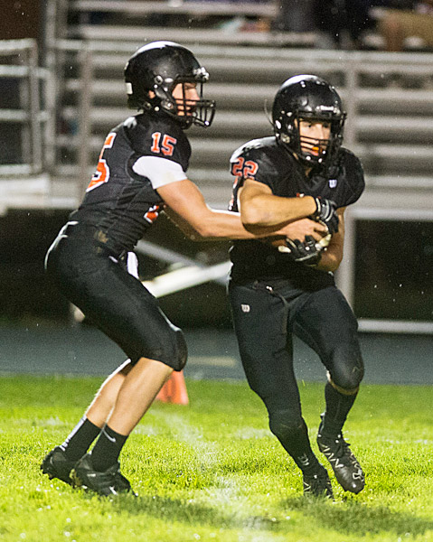
Games begin at 7:30 p.m. unless indicated
MINSTER AT COLDWATERCavalier Stadium
Last Season: The Cavaliers held off a late run by Minster for a 17-16 win. It was to be the last loss of the season for Minster as the Wildcats won their final eight games en route to a Division VII state title.