Special Weather Statement issued November 10 at 2:15AM EST by NWS Wilmington OH (details ...)
Light snow across the area early this morning will increase in coverage and intensity toward sunrise in the I-70 corridor. This band of moderate snow will push south affecting the Tri-State region by mid morning, eventually pushing south of the area by early to mid afternoon. Snow amounts of 1-2 inches will common for a good portion of the area on grassy surfaces, with melting on concrete surfaces limiting accumulations. Main impacts are expected to be reduced visibilities and some slick spots on mainly bridges and overpasses. Temperatures today will remain steady mainly in the upper 20s. These cold temperatures combined with gusty winds of 20-25 mph will result in wind chill values in the teens to lower 20s. Motorists should exercise caution. Plan extra time for the Monday morning commute.
Tuesday, September 1st, 2020
Photo by Nick Wenning/The Daily Standard
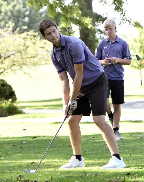
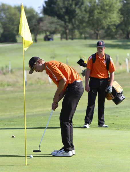
Fort Recovery's Derek Lochtefeld prepares to hit a shot as teammate Cole Muhlenkamp watches during Monday's MAC boys golf match at the Mercer County Elks.