Flood Watch issued August 15 at 10:25PM EDT until August 16 at 8:00AM EDT by NWS Wilmington OH (details ...)
* WHAT...Flash flooding caused by excessive rainfall continues to be possible.
* WHERE...Portions of Indiana, including the following counties, Fayette, Franklin, Union and Wayne and Ohio, including the following counties, Adams, Auglaize, Butler, Champaign, Clark, Clinton, Darke, Delaware, Fairfield, Fayette, Franklin, Greene, Hardin, Highland, Hocking, Licking, Logan, Madison, Mercer, Miami, Montgomery, Pickaway, Pike, Preble, Ross, Scioto, Shelby, Union and Warren.
* WHEN...Until 8 AM EDT Sunday.
* IMPACTS...Excessive runoff may result in flooding of rivers, creeks, streams, and other low-lying and flood-prone locations.
* ADDITIONAL DETAILS... - Additional rounds of showers and thunderstorms are possible tonight. Locally heavy rainfall may result in flash flooding.
Today 81° Today 81° chance likely 71° 71° chance Tomorrow 77° Tomorrow 77° slight chance 64° 64°
Wednesday, January 27th, 2021
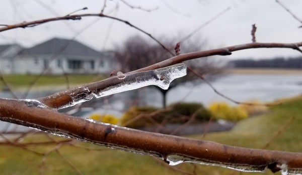
The big melt
Photo by Nancy Allen/The Daily Standard

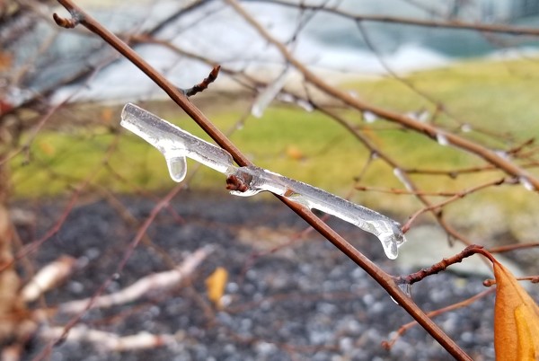
Ice melts from the branches of some trees in Celina around noon Tuesday after being completely encased in ice earlier in the morning. Officials reported few vehicle slide offs due to icy, hazardous roads on Tuesday. Mercer County Engineer Jim Wiechart said his office had put two rounds of de-icing chemicals on roads deemed the worst. He said he appreciates motorists' patience around county equipment and reminded them to watch their speed in snowy conditions.

Additional pictures on this date