Special Weather Statement issued May 1 at 12:13PM EDT by NWS Wilmington OH (details ...)
At 1212 PM EDT, a strong thunderstorm was located near New Bremen, moving northeast at 50 mph. HAZARD...Wind gusts up to 45 mph and pea size hail. SOURCE...Radar indicated. IMPACT...Gusty winds could knock down tree limbs and blow around unsecured objects. Hail may cause minor damage to vegetation. Locations impacted include... Newport, Fryburg, Montra, Egypt, Uniopolis, New Bremen, Buckland, Botkins, New Knoxville, Fort Loramie, Kettlersville, Moulton, Jackson Center, St. Marys, Anna, Kossuth, Lakeview, Lake Loramie State Park, Waynesfield, and Wapakoneta. This includes I-75 in Ohio between mile markers 96 and 118. If outdoors, consider seeking shelter inside a sturdy building. To report hazardous weather conditions, go to our website at weather.gov/iln and submit your report via social media, when you can do so safely.
Monday, April 19th, 2021
Photo by Dan Melograna/The Daily Standard
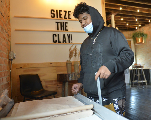
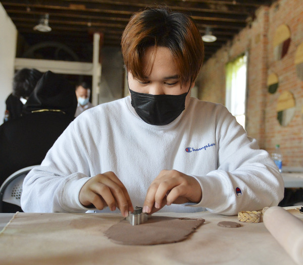
BJ Bellu works to flatten out a piece of clay as he prepares to work on a design for a flower pot Wednesday afternoon during the Marshallese Mentorship Program field trip to Nite Owl Studio in Celina.
CELINA - A new mentorship program based out of Celina High School aims to create positive experiences and build confidence in Marshallese students by matching them with adult members of the local Marshallese community. [More]