Flood Watch issued September 16 at 2:55PM EDT until September 17 at 2:00PM EDT by NWS Wilmington OH (details ...)
* WHAT...Flash flooding caused by excessive rainfall is possible. * WHERE...Portions of east central Indiana, including the following county, Wayne and Ohio, including the following counties, Auglaize, Champaign, Clark, Darke, Delaware, Franklin, Greene, Hardin, Licking, Logan, Madison, Mercer, Miami, Montgomery, Preble, Shelby and Union. * WHEN...From midnight EDT tonight through Thursday afternoon. * IMPACTS...Excessive runoff may result in flooding of rivers, creeks, streams, and other low-lying and flood-prone locations. * ADDITIONAL DETAILS... - Multiple rounds of rain will occur overnight into Thursday. The heavier bands of rainfall will have 2 to 4 inches with locally higher amounts.
Thursday, July 15th, 2021
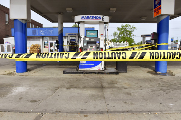
File Photo/The Daily Standard
The City of Celina and Ohio Environmental Protection Agency officials work the scene of a gasoline leak at the Marathon gas station on South Main Street in Celina in this May 28 file photo.
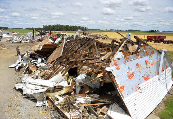
CELINA - An EF2 tornado that touched down near Fort Recovery on June 18 inflicted structural damage but was not as strong as two other tornados that tore through Mercer County in recent years. [More]