Severe Thunderstorm Warning issued April 14 at 7:14PM EDT until April 14 at 7:45PM EDT by NWS Wilmington OH (details ...)
At 713 PM EDT, a severe thunderstorm was located near Fort Recovery, moving east at 30 mph.
HAZARD...60 mph wind gusts and half dollar size hail.
SOURCE...Radar indicated.
IMPACT...Minor hail damage to vehicles is possible. Expect wind damage to trees and power lines.
Locations impacted include... Celina, St. Marys, Coldwater, New Bremen, Minster, St. Henry, Fort Recovery, Wabash, Chickasaw, Burkettsville, Montezuma, Chattanooga, Tama, Egypt, Maria Stein, Neptune, Carthagena, and Bulkhead.
Severe Thunderstorm Watch issued April 14 at 5:16PM EDT until April 14 at 11:00PM EDT by NWS Wilmington OH (details ...)
THE NATIONAL WEATHER SERVICE HAS ISSUED SEVERE THUNDERSTORM WATCH 112 IN EFFECT UNTIL 11 PM EDT THIS EVENING FOR THE FOLLOWING AREAS
IN INDIANA THIS WATCH INCLUDES 4 COUNTIES
IN EAST CENTRAL INDIANA
FAYETTE UNION WAYNE
IN SOUTHEAST INDIANA
FRANKLIN
IN OHIO THIS WATCH INCLUDES 7 COUNTIES
IN WEST CENTRAL OHIO
AUGLAIZE DARKE MERCER MIAMI MONTGOMERY PREBLE SHELBY
THIS INCLUDES THE CITIES OF BROOKVILLE, CAMDEN, CELINA, COLDWATER, CONNERSVILLE, DOWNTOWN DAYTON, EATON, GREENVILLE, KETTERING, LIBERTY, MINSTER, NEW BREMEN, PIQUA, RICHMOND, SIDNEY, ST. MARYS, TIPP CITY, TROY, WAPAKONETA, AND WEST COLLEGE CORNER.
Today 82° Today 82° chance 67° 67° chance Tomorrow 83° Tomorrow 83° likely 66° 66° likely
Wednesday, August 4th, 2021
They're hot to trot
Photo by Dan Melograna/The Daily Standard

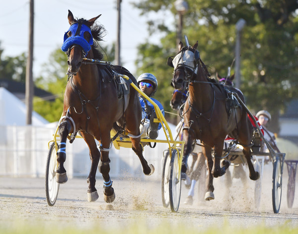
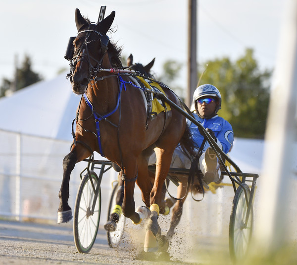
Seaside Meditation runs his way to victory in the Ohio Colt Racing Association 2-year old Colt Pace Tuesday at the Auglaize County Fair.

Additional pictures on this date