Flood Watch issued September 16 at 2:55PM EDT until September 17 at 2:00PM EDT by NWS Wilmington OH (details ...)
* WHAT...Flash flooding caused by excessive rainfall is possible.
* WHERE...Portions of east central Indiana, including the following county, Wayne and Ohio, including the following counties, Auglaize, Champaign, Clark, Darke, Delaware, Franklin, Greene, Hardin, Licking, Logan, Madison, Mercer, Miami, Montgomery, Preble, Shelby and Union.
* WHEN...From midnight EDT tonight through Thursday afternoon.
* IMPACTS...Excessive runoff may result in flooding of rivers, creeks, streams, and other low-lying and flood-prone locations.
* ADDITIONAL DETAILS... - Multiple rounds of rain will occur overnight into Thursday. The heavier bands of rainfall will have 2 to 4 inches with locally higher amounts.
68° 68° chance Thu 84° Thu 84° likely 65° 65° slight chance Fri 77° Fri 77°
Friday, October 22nd, 2021
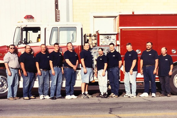
Local Heroes
Photo from The Daily Standard Archives

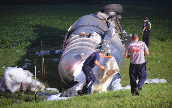
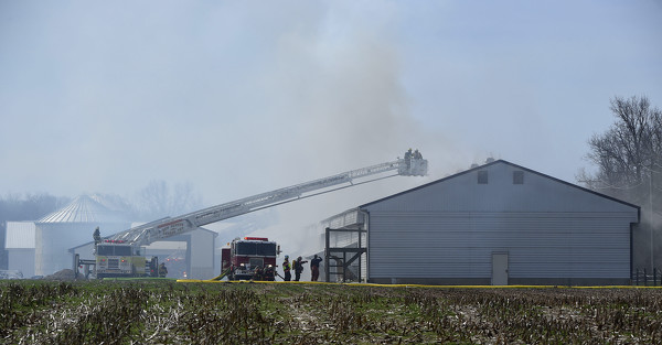
Emergency personnel responded to a semitrailer rollover July 27 on State Route 29 near Havemann Road. No injuries were reported, said Celina Fire Chief Doug Wolters who was at the scene. The semitrailer hauling a tank containing liquid asphalt was westbound when it traveled off the curb around the curve. The semitrailer overturned and the tank ruptured, spilling asphalt and littering the ground with white insulation from the inside of the tanker.


Additional pictures on this date