The Daily Standard
Pictures Archive
Menu
▼
Home
Subscribe
E-Edition
Archives
▼
Archives
Obituary Archives
Photo Albums
Podcasts
▼
Podcasts
Video
Classifieds
▼
Classifieds
Public Notices
Weather
Sports
More
▼
Contacts
Advertising
Subscription Payment
Community Pictures
Historical Maps
Forms
Locations
Elections
Today
66°
Today
66°
chance
54°
54°
slight
chance
Tomorrow
67°
Tomorrow
67°
55°
55°
slight
chance
Friday, April 1st, 2022
File Photo/The Daily Standard
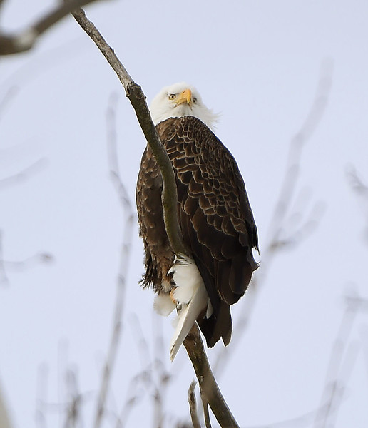
An American bald eagle perches in a tree along the walking path in West Bank Park in 2021 in Celina.
Related online story:
All eyes are on area nests for eagles
Bald eagles continue to flourish in the area with at least 14 eagle nests confirmed in Mercer and Auglaize counties.
Jill Bowers, who has monit [
More
]
Purchase a print of this photo.
Archive of April 1st, 2022
Buy this E-Edition
Additional pictures on this date
<!--Unsupported browser-->
Copyright © 2026 Standard Printing Co. All Rights Reserved