Severe Thunderstorm Warning issued March 11 at 9:49AM EDT until March 11 at 10:15AM EDT by NWS Wilmington OH (details ...)
At 949 AM EDT, a severe thunderstorm was located near Celina, moving northeast at 65 mph.
HAZARD...60 mph wind gusts.
SOURCE...Radar indicated.
IMPACT...Expect damage to trees and power lines.
Locations impacted include... Celina, Coldwater, St. Henry, Rockford, Mendon, Osgood, Chickasaw, Burkettsville, North Star, Montezuma, New Weston, Yorkshire, Tama, Rose Hill, Maria Stein, Eldora Speedway, Neptune, and Carthagena.
Tornado Watch issued March 11 at 9:48AM EDT until March 11 at 12:00PM EDT by NWS Wilmington OH (details ...)
TORNADO WATCH 41 REMAINS VALID UNTIL NOON EDT TODAY FOR THE FOLLOWING AREAS
IN INDIANA THIS WATCH INCLUDES 8 COUNTIES
IN EAST CENTRAL INDIANA
FAYETTE UNION WAYNE
IN SOUTHEAST INDIANA
DEARBORN FRANKLIN OHIO RIPLEY SWITZERLAND
IN KENTUCKY THIS WATCH INCLUDES 8 COUNTIES
IN NORTHERN KENTUCKY
BOONE CAMPBELL CARROLL GALLATIN GRANT KENTON OWEN PENDLETON
IN OHIO THIS WATCH INCLUDES 11 COUNTIES
IN SOUTHWEST OHIO
BUTLER CLERMONT HAMILTON WARREN
IN WEST CENTRAL OHIO
AUGLAIZE DARKE MERCER MIAMI MONTGOMERY PREBLE SHELBY
THIS INCLUDES THE CITIES OF ALEXANDRIA, AURORA, BATESVILLE, BELLEVUE, BRIGHT, BROOKVILLE, BURLINGTON, BUTLER, CAMDEN, CARROLLTON, CELINA, COLDWATER, CONNERSVILLE, COVINGTON, CRITTENDEN, DAY HEIGHTS, DAYTON, DILLSBORO, DOWNTOWN CINCINNATI, DOWNTOWN DAYTON, DRY RIDGE, EATON, ERLANGER, FAIRFIELD, FALMOUTH, FLORENCE, FORT THOMAS, FRANKLIN, GREENDALE, GREENVILLE, HAMILTON, HIDDEN VALLEY, HIGHLAND HEIGHTS, INDEPENDENCE, KETTERING, LANDEN, LAWRENCEBURG, LEBANON, LIBERTY, MASON, MIDDLETOWN, MILAN, MILFORD, MINSTER, MOUNT CARMEL, MOUNT REPOSE, MULBERRY, NEW BREMEN, NEWPORT, OAKBROOK, OSGOOD, OWENTON, OXFORD, PIQUA, RICHMOND, RISING SUN, SIDNEY, SPRINGBORO, ST. MARYS, SUMMERSIDE, TIPP CITY, TROY, VERSAILLES, VEVAY, WAPAKONETA, WARSAW, WEST COLLEGE CORNER, WILLIAMSTOWN, AND WITHAMSVILLE.
Wind Advisory issued March 11 at 6:26AM EDT until March 11 at 7:00PM EDT by NWS Wilmington OH (details ...)
* WHAT...Southwest winds 15 to 25 mph with gusts up to 50 mph expected.
* WHERE...Portions of east central and southeast Indiana, northeast and northern Kentucky, and central, south central, southwest, and west central Ohio.
* WHEN...Until 7 PM EDT this evening.
* IMPACTS...Gusty winds will blow around unsecured objects. Tree limbs could be blown down and a few power outages may result.
Severe Thunderstorm Warning issued March 11 at 9:42AM EDT until March 11 at 10:30AM EDT by NWS Wilmington OH (details ...)
SVRILN
The National Weather Service in Wilmington has issued a
* Severe Thunderstorm Warning for... Northern Shelby County in west central Ohio... Northwestern Logan County in west central Ohio... Western Hardin County in west central Ohio... Auglaize County in west central Ohio...
* Until 1030 AM EDT.
* At 941 AM EDT, a severe thunderstorm was located over Celina, moving northeast at 65 mph.
HAZARD...60 mph wind gusts.
SOURCE...Radar indicated.
IMPACT...Expect damage to trees and power lines.
* Locations impacted include... Wapakoneta, St. Marys, Kenton, Ada, Fort Shawnee, New Bremen, Minster, Cridersville, Anna, Fort Loramie, Jackson Center, Forest, Russells Point, Botkins, Lakeview, New Knoxville, Dunkirk, Alger, Waynesfield, and Belle Center.
This includes I-75 in Ohio between mile markers 97 and 118.
Today 69° Today 69° chance 28° 28° slight chance Tomorrow 45° Tomorrow 45° 36° 36°
Friday, September 16th, 2022
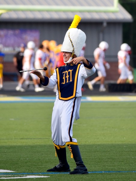
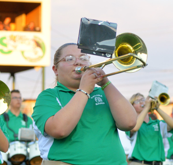
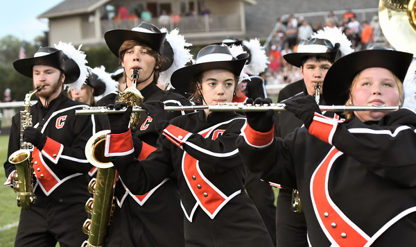
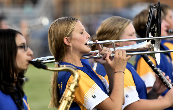
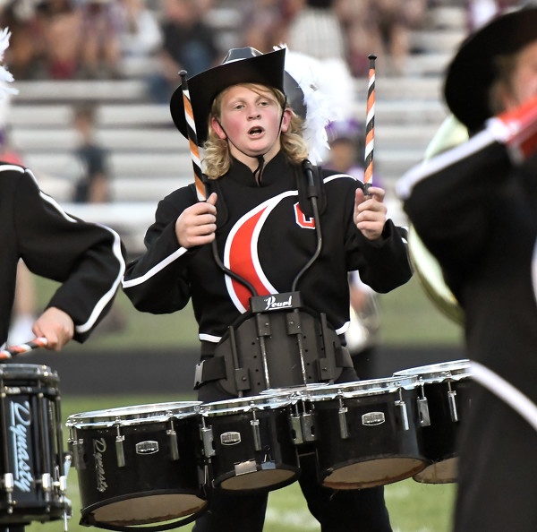
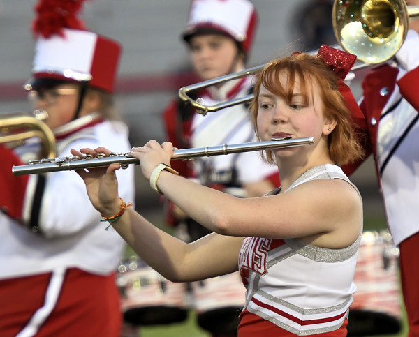
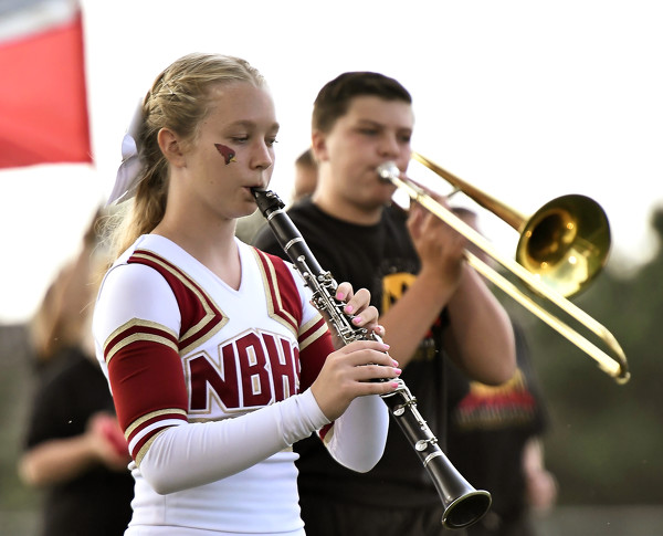
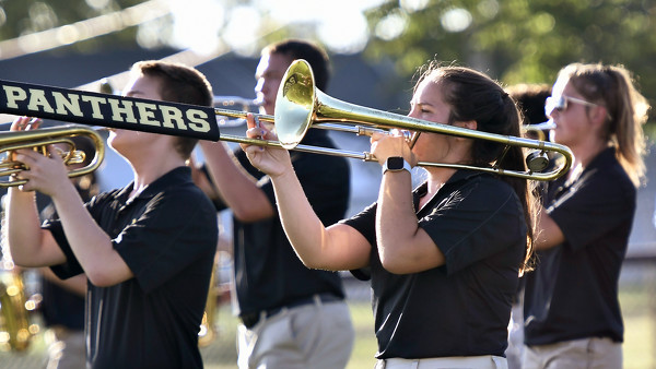
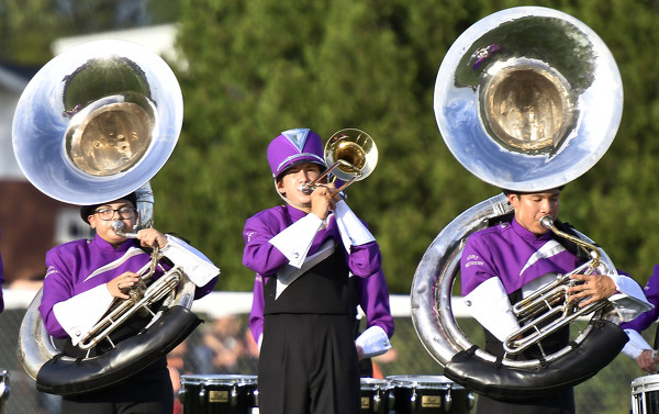
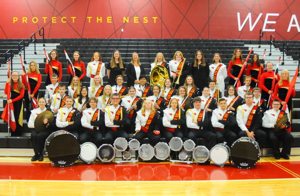
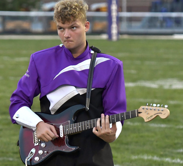
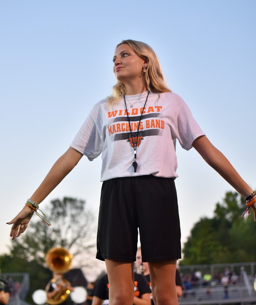
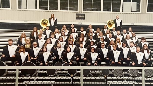
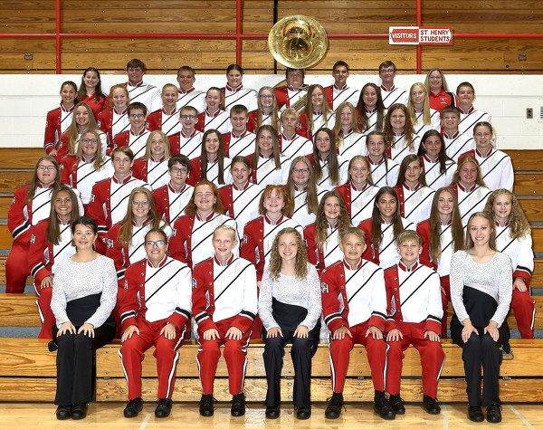
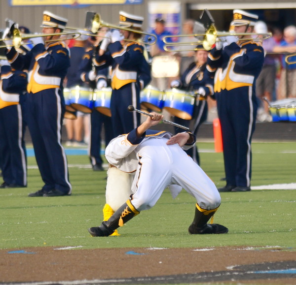
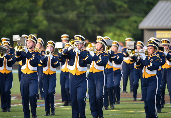
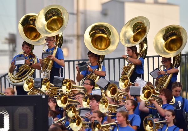
Salute to Bands
Photo by Jason Snyder/The Daily Standard

A St. Marys marching band member twirls a baton at a recent high school football game.

Additional pictures on this date