Special Weather Statement issued September 3 at 6:46PM EDT by NWS Wilmington OH (details ...)
At 646 PM EDT, strong thunderstorms were located along a line extending from near Van Wert to near Monroe, moving southeast at 30 mph.
HAZARD...Wind gusts up to 45 mph, frequent cloud-to-ground lightning, and very heavy rain.
SOURCE...Radar indicated.
IMPACT...Gusty winds could knock down tree limbs and blow around unsecured objects. Lightning can cause serious injury or death. Visibility will be poor and hydroplaning is possible.
Locations impacted include... Rockford, Mendon, Chattanooga, and Tama.
If outdoors, consider seeking shelter inside a sturdy building.
Motorists should slow down and use extra caution.
When thunder roars, go indoors! Do not stay in the open or seek shelter under trees when lightning threatens.
To report hazardous weather conditions, go to our website at weather.gov/iln and submit your report via social media, when you can do so safely.
Heat Advisory issued September 3 at 3:40PM EDT until September 3 at 8:00PM EDT by NWS Wilmington OH (details ...)
* WHAT...Heat index values of 100 to 105 expected.
* WHERE...Delaware, Licking, Union, Auglaize, Champaign, Hardin, Logan, Mercer, and Shelby Counties.
* WHEN...Until 8 PM EDT this evening.
* IMPACTS...Hot temperatures and high humidity may cause heat illnesses.
Today 91° Today 91° slight chance slight chance 73° 73° slight chance Tomorrow 88° Tomorrow 88° chance 71° 71° chance
Monday, December 12th, 2022
Miracle on Spring Street in St. Marys
Photo by Bob Tomaszewski/The Daily Standard

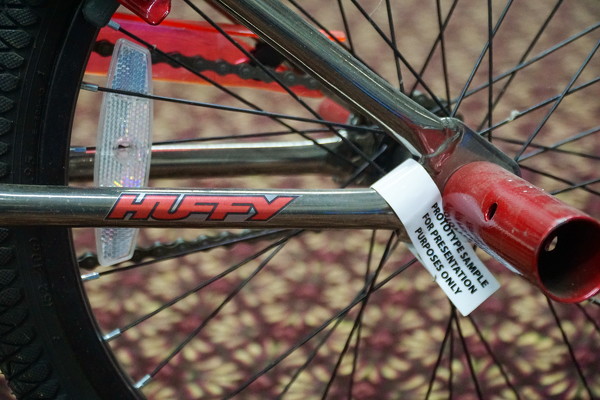
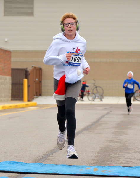
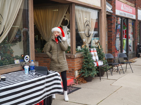
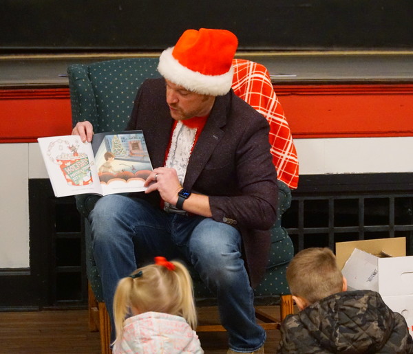
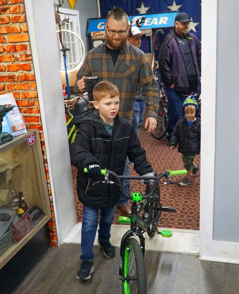
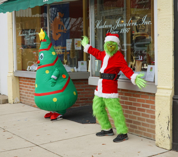
Huffy prototypes were among the bikes available at Saturday's giveaway at Psycho Cycles. Shoppers crowded St. Marys Saturday for the Miracle on Spring Street. Merchants were there to greet them with candy, cookies, crafts and carols.


Additional pictures on this date