Special Weather Statement issued May 1 at 12:13PM EDT by NWS Wilmington OH (details ...)
At 1212 PM EDT, a strong thunderstorm was located near New Bremen, moving northeast at 50 mph. HAZARD...Wind gusts up to 45 mph and pea size hail. SOURCE...Radar indicated. IMPACT...Gusty winds could knock down tree limbs and blow around unsecured objects. Hail may cause minor damage to vegetation. Locations impacted include... Newport, Fryburg, Montra, Egypt, Uniopolis, New Bremen, Buckland, Botkins, New Knoxville, Fort Loramie, Kettlersville, Moulton, Jackson Center, St. Marys, Anna, Kossuth, Lakeview, Lake Loramie State Park, Waynesfield, and Wapakoneta. This includes I-75 in Ohio between mile markers 96 and 118. If outdoors, consider seeking shelter inside a sturdy building. To report hazardous weather conditions, go to our website at weather.gov/iln and submit your report via social media, when you can do so safely.
Thursday, February 16th, 2023
Photo by Paige Sutter/The Daily Standard
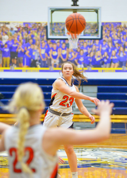
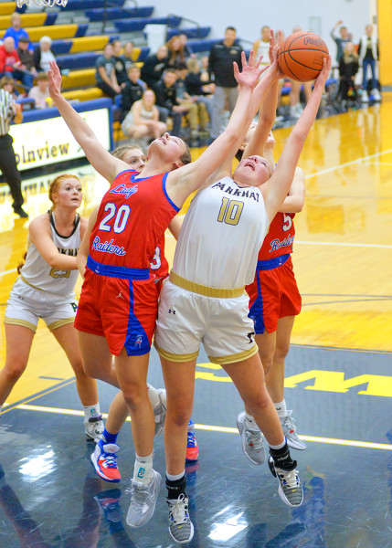
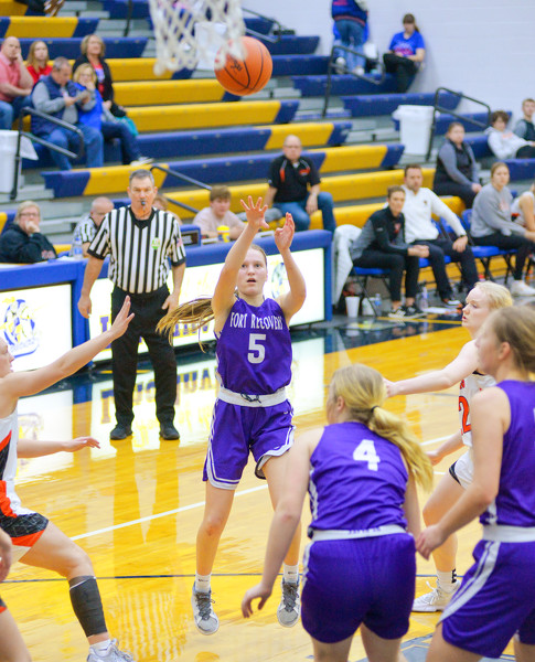
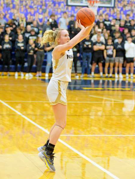
Coldwater's Claire Steinke fires a pass to Becca Wenning against Fort Recovery in the first Division III sectional opener at Lincolnview High School on Wednesday.
MIDDLE POINT - Parkway, co-champion of the Midwest Athletic Conference and the 10th-ranked team in Division III, is out of the tournament after the first game. [More]