Special Weather Statement issued June 6 at 10:21AM EDT by NWS Wilmington OH (details ...)
At 1021 AM EDT, strong thunderstorms were located along a line extending from Wapakoneta to near Greenville, moving east at 50 mph.
HAZARD...Wind gusts up to 45 mph.
SOURCE...Radar indicated.
IMPACT...Gusty winds could knock down tree limbs and blow around unsecured objects.
Locations impacted include... Troy, Sidney, Piqua, Bellefontaine, Greenville, Wapakoneta, Minster, Versailles, Covington, St. Paris, Newport, Bradford, Anna, Fort Loramie, Jackson Center, Russells Point, De Graff, Botkins, Lakeview, and Waynesfield.
This includes I-75 in Ohio between mile markers 76 and 113.
If outdoors, consider seeking shelter inside a sturdy building.
To report hazardous weather conditions, go to our website at weather.gov/iln and submit your report via social media, when you can do so safely.
Today 82° Today 82° likely 67° 67° slight chance Tomorrow 81° Tomorrow 81° slight chance 67° 67° slight chance
Saturday, July 29th, 2023
A Celina Christmas in July
Photo by Jason Snyder/The Daily Standard

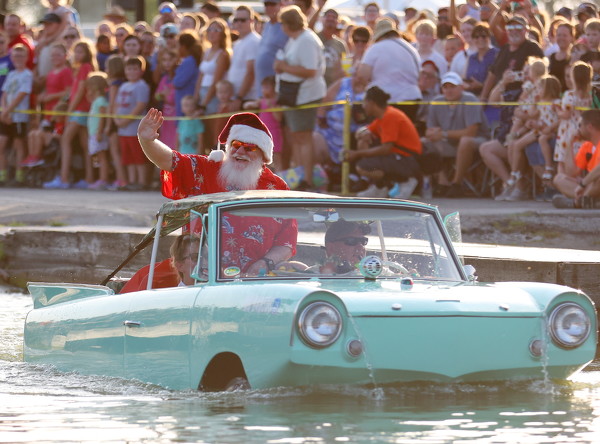
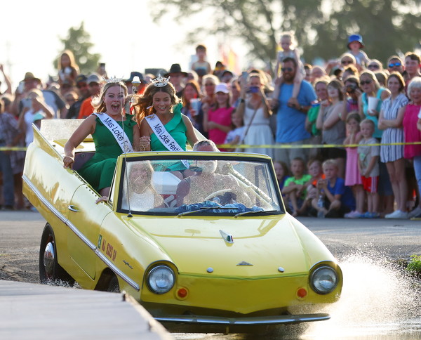
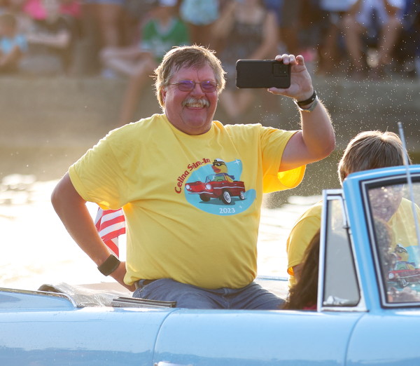
Santa Claus waves to the crowd from the back of an Amphicar during Celina Lake Festival's splash-in on Friday evening.

Additional pictures on this date