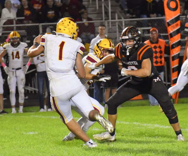
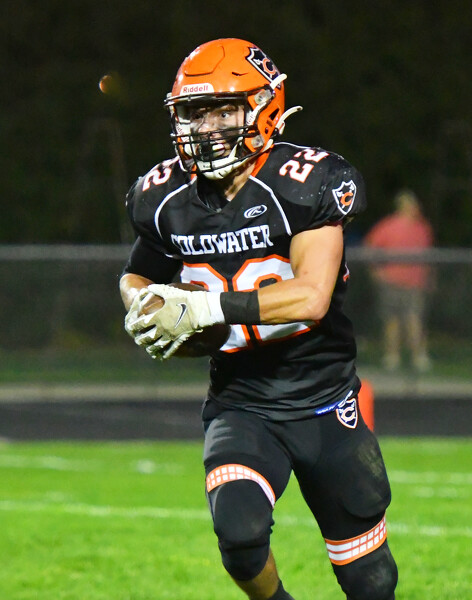
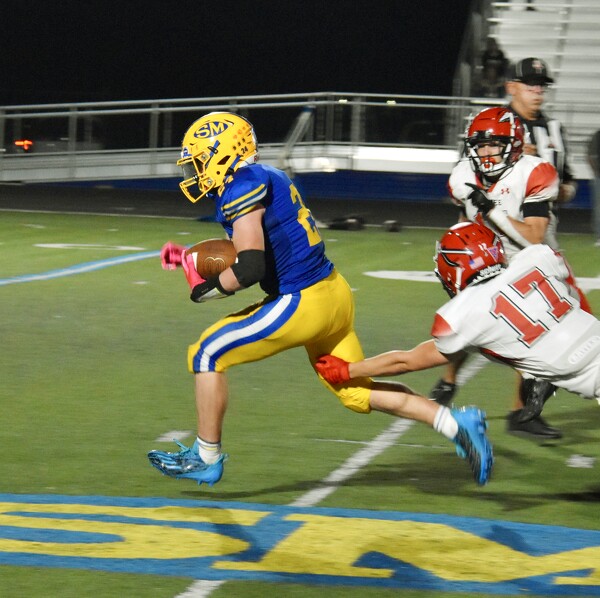
Special Weather Statement issued May 1 at 12:13PM EDT by NWS Wilmington OH (details ...)
At 1212 PM EDT, a strong thunderstorm was located near New Bremen, moving northeast at 50 mph.
HAZARD...Wind gusts up to 45 mph and pea size hail.
SOURCE...Radar indicated.
IMPACT...Gusty winds could knock down tree limbs and blow around unsecured objects. Hail may cause minor damage to vegetation.
Locations impacted include... Newport, Fryburg, Montra, Egypt, Uniopolis, New Bremen, Buckland, Botkins, New Knoxville, Fort Loramie, Kettlersville, Moulton, Jackson Center, St. Marys, Anna, Kossuth, Lakeview, Lake Loramie State Park, Waynesfield, and Wapakoneta.
This includes I-75 in Ohio between mile markers 96 and 118.
If outdoors, consider seeking shelter inside a sturdy building.
To report hazardous weather conditions, go to our website at weather.gov/iln and submit your report via social media, when you can do so safely.
Today 74° Today 74° 58° 58° chance Tomorrow 71° Tomorrow 71° chance 54° 54° chance
Thursday, November 2nd, 2023
Photo by William Kincaid/The Daily Standard

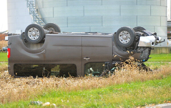
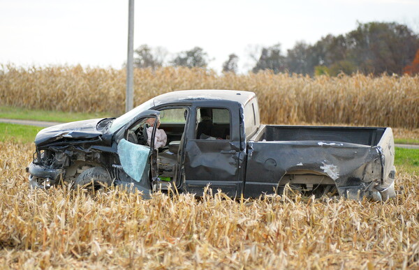
A 2017 Nissan passenger van was involved with a 2006 Dodge pickup in an accident at about 4:39 p.m. Wednesday at the intersection of Fox and Wourms roads southeast of Fort Recovery.

Related online story:
GIBSON TOWNSHIP - A Fort Recovery couple was airlifted to Miami Valley Hospital in Dayton and their seven children were taken to Mercer County Community Hospital in Coldwater following a two-vehicle accident on Wednesday afternoon. [More]
Additional pictures on this date