Flood Watch issued August 15 at 10:25PM EDT until August 16 at 8:00AM EDT by NWS Wilmington OH (details ...)
* WHAT...Flash flooding caused by excessive rainfall continues to be possible.
* WHERE...Portions of Indiana, including the following counties, Fayette, Franklin, Union and Wayne and Ohio, including the following counties, Adams, Auglaize, Butler, Champaign, Clark, Clinton, Darke, Delaware, Fairfield, Fayette, Franklin, Greene, Hardin, Highland, Hocking, Licking, Logan, Madison, Mercer, Miami, Montgomery, Pickaway, Pike, Preble, Ross, Scioto, Shelby, Union and Warren.
* WHEN...Until 8 AM EDT Sunday.
* IMPACTS...Excessive runoff may result in flooding of rivers, creeks, streams, and other low-lying and flood-prone locations.
* ADDITIONAL DETAILS... - Additional rounds of showers and thunderstorms are possible tonight. Locally heavy rainfall may result in flash flooding.
70° 70° chance Sun 82° Sun 82° slight chance 68° 68° chance Mon 77° Mon 77° chance
Friday, March 15th, 2024
Photo by Ryan Snyder/The Daily Standard

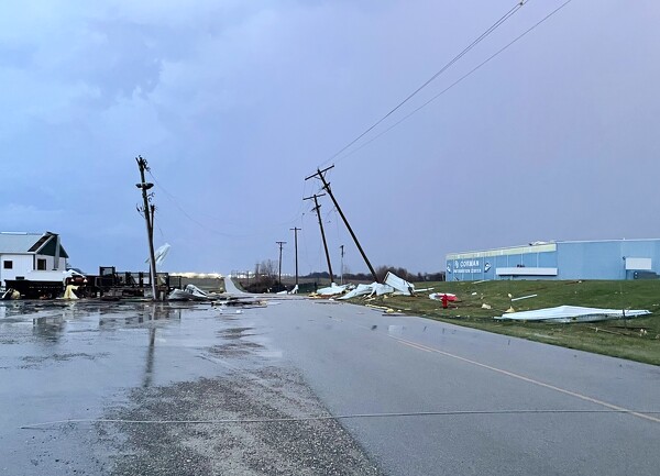
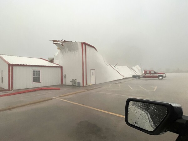
One of the buildings at the RJ Corman railroad facility on Albers Road, near Riley Road and State Route 29, was decimated.

Related online story:


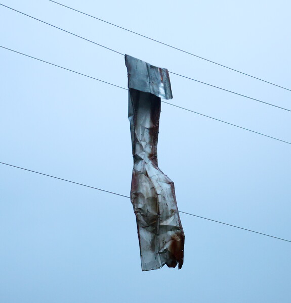
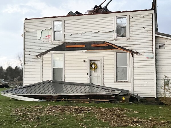
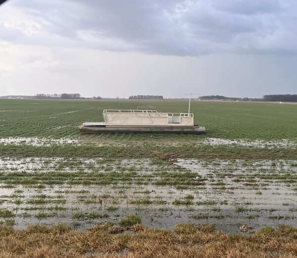
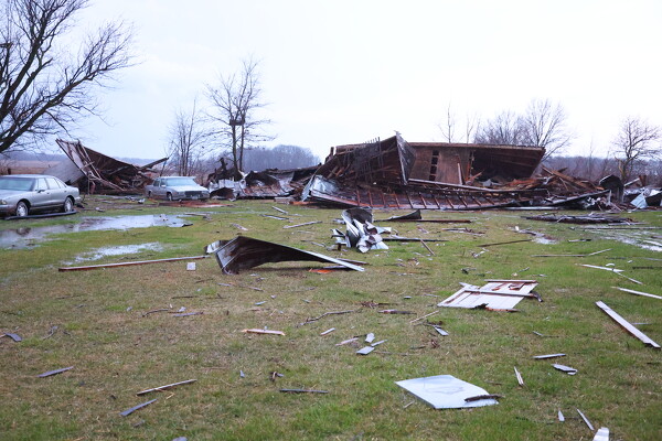
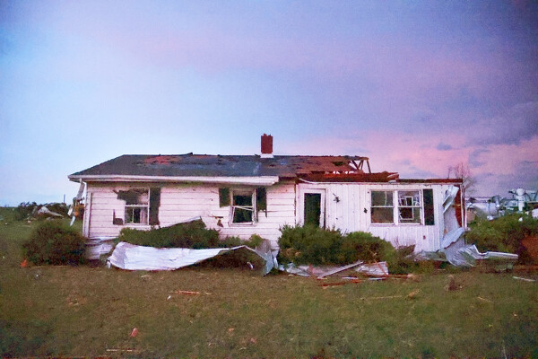
Multiple tornadoes are suspected to have touched down in the area, with a report of as many as four in Auglaize County, resulting in at least a handful of injuries, heavy damage to barns, homes and other structures and a citywide power outage in Celina. [More]
Additional pictures on this date