Flood Watch issued August 15 at 10:25PM EDT until August 16 at 8:00AM EDT by NWS Wilmington OH (details ...)
* WHAT...Flash flooding caused by excessive rainfall continues to be possible.
* WHERE...Portions of Indiana, including the following counties, Fayette, Franklin, Union and Wayne and Ohio, including the following counties, Adams, Auglaize, Butler, Champaign, Clark, Clinton, Darke, Delaware, Fairfield, Fayette, Franklin, Greene, Hardin, Highland, Hocking, Licking, Logan, Madison, Mercer, Miami, Montgomery, Pickaway, Pike, Preble, Ross, Scioto, Shelby, Union and Warren.
* WHEN...Until 8 AM EDT Sunday.
* IMPACTS...Excessive runoff may result in flooding of rivers, creeks, streams, and other low-lying and flood-prone locations.
* ADDITIONAL DETAILS... - Additional rounds of showers and thunderstorms are possible tonight. Locally heavy rainfall may result in flash flooding.
70° 70° chance Sun 82° Sun 82° slight chance 68° 68° chance Mon 77° Mon 77° chance
Saturday, March 16th, 2024
Photo by Ryan Snyder/The Daily Standard

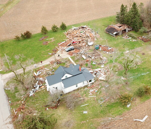
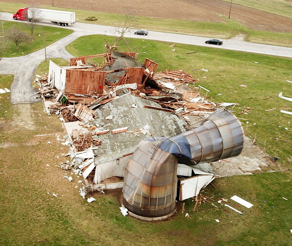
The occupant of this home on 4 Turkey Road was assisted by her neighbors to safety after the storm. The barn and shed were destroyed along with many of the trees. Family members were assessing the damage Friday morning and personnel from the Celina Fire Department checked on homes in the neighborhood.

Related online story:

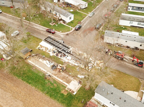
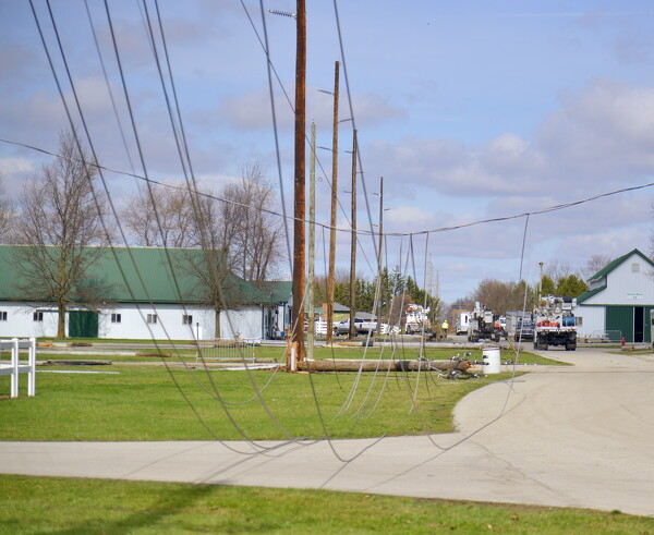
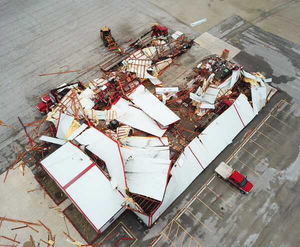
CELINA - Two EF1 tornadoes packing winds up to 110 mph tore through Mercer County on Thursday evening, the National Weather Service in Wilmington confirmed on Friday. [More]
Additional pictures on this date