Severe Thunderstorm Warning issued August 10 at 10:07PM EDT until August 10 at 10:30PM EDT by NWS Wilmington OH (details ...)
At 1007 PM EDT, a severe thunderstorm was located near Wapakoneta, moving southeast at 40 mph. HAZARD...60 mph wind gusts and quarter size hail. SOURCE...Radar indicated. IMPACT...Minor hail damage to vehicles is possible. Expect wind damage to trees and power lines. Locations impacted include... Celina, Wapakoneta, St. Marys, Coldwater, New Bremen, Minster, Anna, Jackson Center, Botkins, New Knoxville, Moulton, Wabash, Port Jefferson, Kettlersville, Montezuma, Fryburg, Montra, Tama, Neptune, and Maplewood. This includes I-75 in Ohio between mile markers 96 and 112.
Severe Thunderstorm Watch issued August 10 at 7:26PM EDT until August 11 at 2:00AM EDT by NWS Wilmington OH (details ...)
THE NATIONAL WEATHER SERVICE HAS ISSUED SEVERE THUNDERSTORM WATCH 560 IN EFFECT UNTIL 2 AM EDT TUESDAY FOR THE FOLLOWING AREAS IN INDIANA THIS WATCH INCLUDES 1 COUNTY IN EAST CENTRAL INDIANA WAYNE IN OHIO THIS WATCH INCLUDES 21 COUNTIES IN CENTRAL OHIO DELAWARE FAIRFIELD FAYETTE FRANKLIN HOCKING LICKING MADISON PICKAWAY UNION IN WEST CENTRAL OHIO AUGLAIZE CHAMPAIGN CLARK DARKE GREENE HARDIN LOGAN MERCER MIAMI MONTGOMERY PREBLE SHELBY THIS INCLUDES THE CITIES OF ADA, BEAVERCREEK, BELLEFONTAINE, CAMDEN, CELINA, CIRCLEVILLE, COLDWATER, DELAWARE, DOWNTOWN COLUMBUS, DOWNTOWN DAYTON, EATON, FAIRBORN, GREENVILLE, KENTON, KETTERING, LANCASTER, LOGAN, LONDON, MARYSVILLE, MINSTER, NEW BREMEN, NEWARK, PICKERINGTON, PIQUA, PLAIN CITY, RICHMOND, SIDNEY, SPRINGFIELD, ST. MARYS, TIPP CITY, TROY, URBANA, WAPAKONETA, WASHINGTON COURT HOUSE, WEST JEFFERSON, AND XENIA.
Flood Watch issued August 10 at 1:04PM EDT until August 12 at 8:00AM EDT by NWS Wilmington OH (details ...)
* WHAT...Flash flooding caused by excessive rainfall is possible. * WHERE...Portions of Indiana, including the following counties, Dearborn, Fayette, Franklin, Union and Wayne, Kentucky, including the following counties, Boone, Bracken, Campbell, Kenton, Lewis, Mason, Pendleton and Robertson, and Ohio, including the following counties, Adams, Auglaize, Brown, Butler, Champaign, Clark, Clermont, Clinton, Darke, Delaware, Fairfield, Fayette, Franklin, Greene, Hamilton, Hardin, Highland, Hocking, Licking, Logan, Madison, Mercer, Miami, Montgomery, Pickaway, Pike, Preble, Ross, Scioto, Shelby, Union and Warren. * WHEN...Through Wednesday morning. * IMPACTS...Excessive runoff may result in flooding of rivers, creeks, streams, and other low-lying and flood-prone locations. * ADDITIONAL DETAILS... - Several rounds of thunderstorms are expected through Tuesday night. Locally heavy rainfall can be expected with the potential for storms to repeatedly track over the same locations. This will result in the potential for flash flooding.
Flood Advisory issued August 10 at 10:15PM EDT until August 11 at 1:15AM EDT by NWS Wilmington OH (details ...)
* WHAT...Flooding caused by excessive rainfall is expected. * WHERE...Northwestern Union County in central Ohio... Northeastern Auglaize County in west central Ohio... Southern Hardin County in west central Ohio... Logan County in west central Ohio... Northeastern Shelby County in west central Ohio... * WHEN...Until 115 AM EDT. * IMPACTS...Minor flooding in low-lying and poor drainage areas. * ADDITIONAL DETAILS... - At 1015 PM EDT, radar indicated heavy rain due to thunderstorms. Minor flooding is ongoing or expected to begin shortly in the advisory area. Between 0.5 and 1.5 inches of rain have fallen. Additional rainfall amounts up to 2.5 inches are possible. - Some locations that may experience flooding include... Bellefontaine, Kenton, West Liberty, Russells Point, De Graff, Lakeview, Waynesfield, Belle Center, West Mansfield, Chippewa Park, Northwood, Roundhead, Quincy, Mount Victory, Rushsylvania, Huntsville, Ridgeway, Valley Hi, Zanesfield and Big Springs.
CELINA - The Cleveland FBI Office, which is aware of the cyberattack at Crown Equipment Corporation, said it aims to protect the public from and thwart perpetrators of cybercrime, which is on the rise nationally. [More]
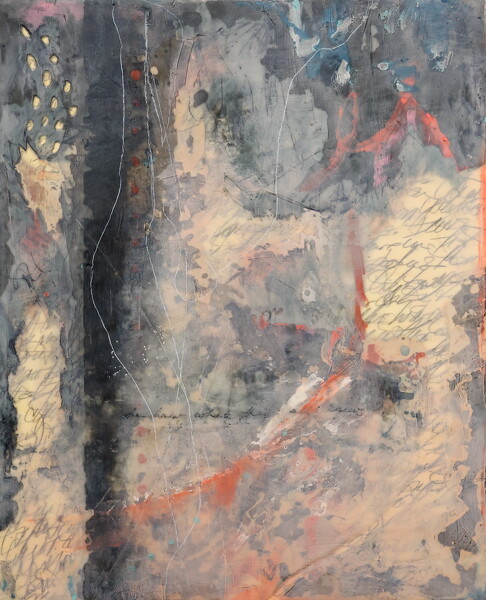
Art show reflects Midwestern slant, women's attitudes
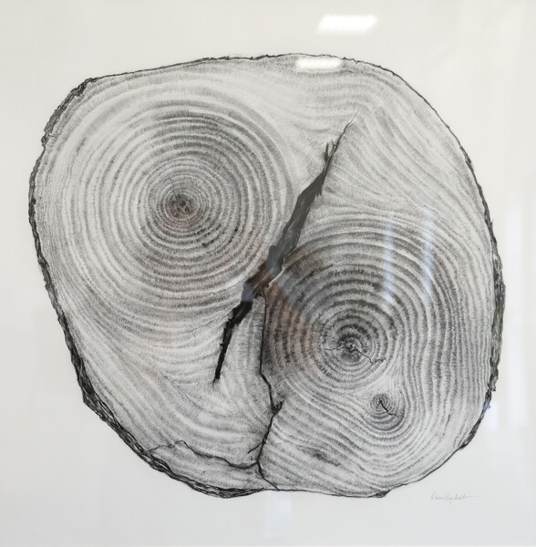
NEW BREMEN - The public is invited to an exhibition featuring six contemporary Midwestern artists who explore what it means to be a woman and how regional culture affects a person.
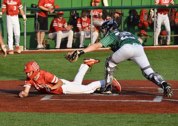
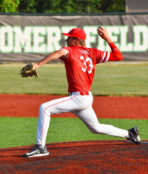
CELINA - After thunder and lightning postponed its Wednesday night game, St. Henry brought some thunder to its ACME baseball game at Celina on Thursday.
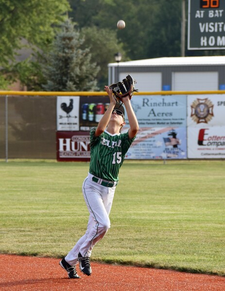
Coldwater posted six runs in the bottom of the first inning and leaned on Mason Smith and Mason Welsch to keep the lead on the way to a 7-3 win over Marion Local in an ACME baseball game at Veterans Field on Thursday.
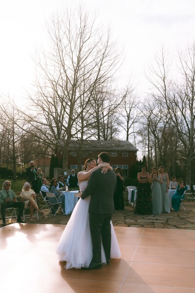
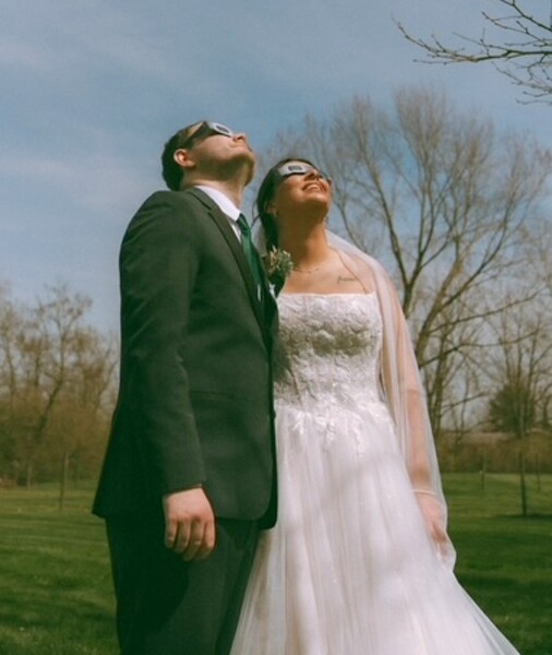
CELINA - Though most couples set their wedding date about a year in advance some time following their engagement, Elly, 22, and Samuel Thompson, 23, both of Celina, had a wedding date in mind before they were even engaged.