Flood Watch issued August 15 at 2:16AM EDT until August 16 at 8:00AM EDT by NWS Wilmington OH (details ...)
* WHAT...Flash flooding caused by excessive rainfall continues to be possible.
* WHERE...Portions of Indiana, including the following counties, Fayette, Franklin, Union and Wayne and Ohio, including the following counties, Auglaize, Butler, Champaign, Clark, Clinton, Darke, Delaware, Fairfield, Fayette, Franklin, Greene, Hardin, Hocking, Licking, Logan, Madison, Mercer, Miami, Montgomery, Pickaway, Preble, Ross, Shelby, Union and Warren.
* WHEN...From noon EDT today through Sunday morning.
* IMPACTS...Excessive runoff may result in flooding of rivers, creeks, streams, and other low-lying and flood-prone locations.
* ADDITIONAL DETAILS... - Additional rounds of showers and thunderstorms are expected today and tonight. Heavy rainfall is possible, especially tonight, which may result in flash flooding.
67° 67° Sat 84° Sat 84° slight chance likely 72° 72° likely Sun 86° Sun 86° chance
Friday, September 26th, 2025
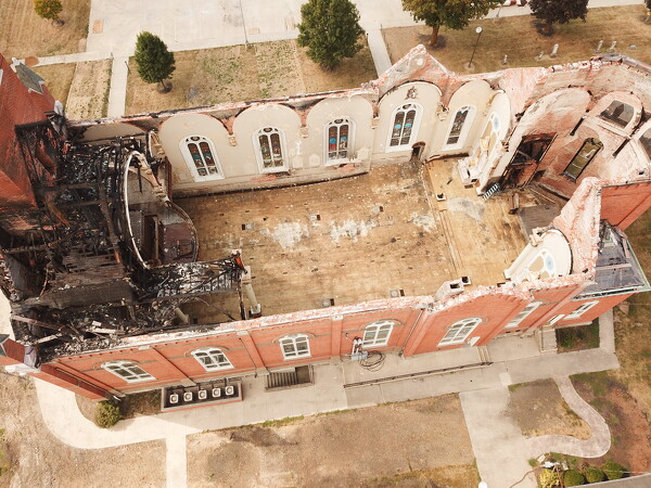
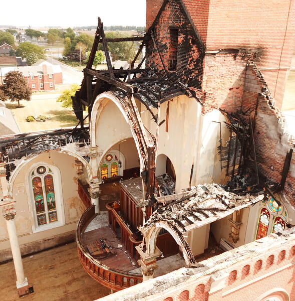
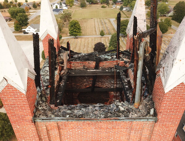
Photo by Ryan Snyder/The Daily Standard

A structural assessment of the church found a portion of the walls would need to be disassembled from the top down until a section is reached that has no damage in the wythe (vertical layer of bricks) structure.

Related online story:

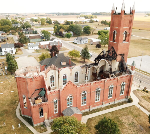
MARIA STEIN - A claims administrator is evaluating fire-related losses at St. John the Baptist Church and developing two key estimates, one for r [More]
Additional pictures on this date