Freeze Warning issued October 17 at 2:54PM EDT until October 18 at 9:00AM EDT by NWS Wilmington OH (details ...)
* WHAT...Sub-freezing temperatures in the upper 20s and lower 30s expected. * WHERE...Portions of East Central and Southeast Indiana, Northeast and Northern Kentucky, and Central, South Central, Southwest, and West Central Ohio. * WHEN...From 1 AM to 9 AM EDT Sunday. * IMPACTS...Frost and freeze conditions could kill crops, other sensitive vegetation and possibly damage unprotected outdoor plumbing.
Tuesday, October 14th, 2025
Photo by Don Speck/The Daily Standard
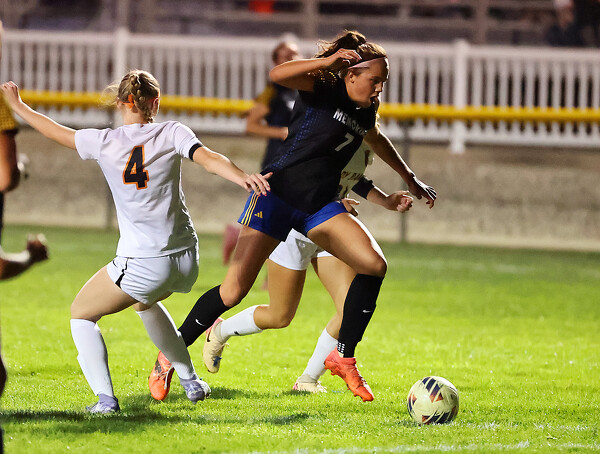
St. Marys' Kendal Davis (left) tries to keep the ball away from an Upper Sandusky player.
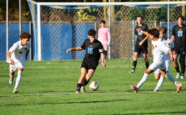
ST. MARYS - The postseason could not have started any better for the St. Marys boys and girls soccer programs, taking their opening round wins in a doubleheader of games at Roughrider Field. [More]