The Daily Standard
Pictures Archive
Menu
▼
Home
Subscribe
E-Edition
Archives
▼
Archives
Obituary Archives
Photo Albums
Podcasts
▼
Podcasts
Video
Classifieds
▼
Classifieds
Public Notices
Weather
Sports
More
▼
Contacts
Advertising
Subscription Payment
Community Pictures
Historical Maps
Forms
Locations
Elections
46°
46°
Mon
73°
Mon
73°
47°
47°
Tue
71°
Tue
71°
Monday, February 9th, 2026
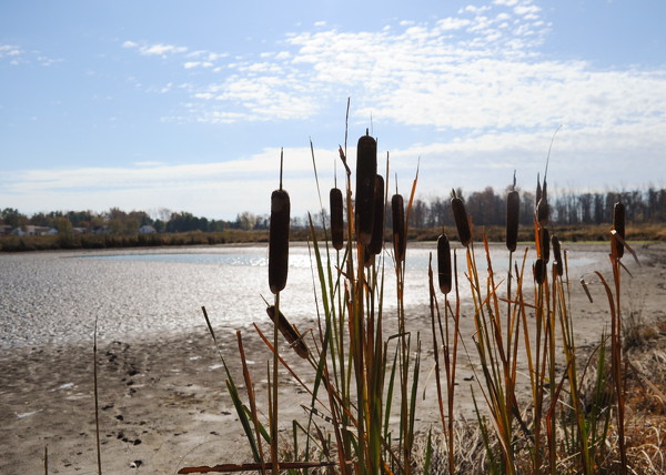
File Photo/The Daily Standard
The Coldwater Creek treatment train is seen in this 2019 file photo.
Related online story:
Wetlands do job despite drought
CELINA - Local wetlands in 2025 fell short of meeting an ambitious goal set by officials yet still managed to have a bang-up year by processing mo [
More
]
Purchase a print of this photo.
Archive of February 9th, 2026
Buy this E-Edition
Additional pictures on this date
<!--Unsupported browser-->
Copyright © 2026 Standard Printing Co. All Rights Reserved