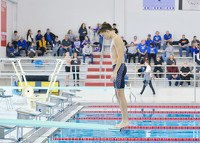
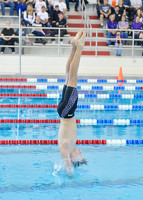
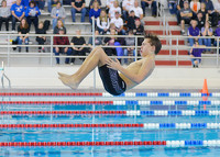
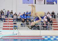
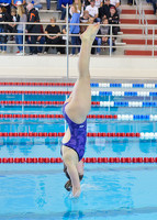
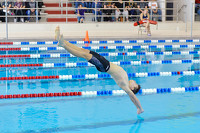
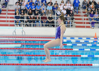
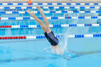
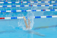
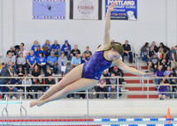
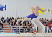
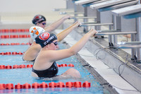
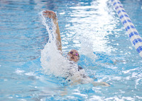
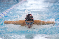
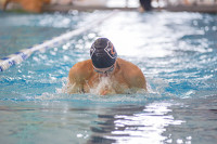
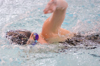
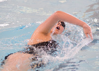
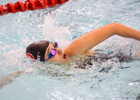
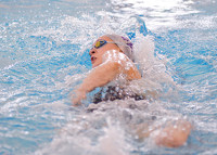
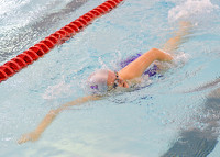
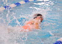
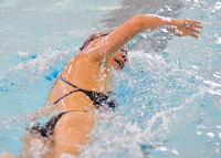
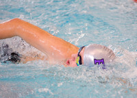
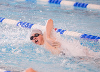
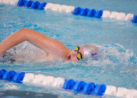
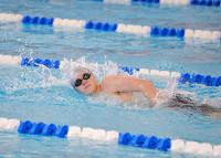
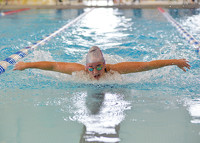
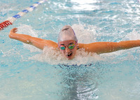
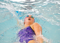
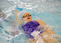
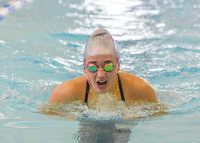
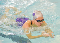
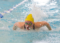
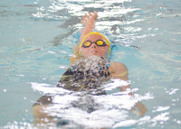
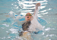
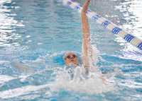
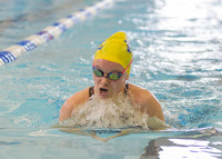
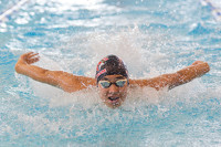
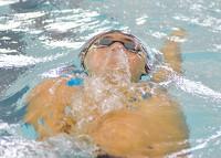
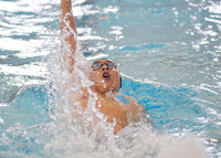
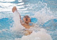
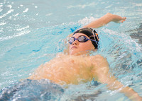
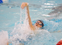
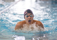
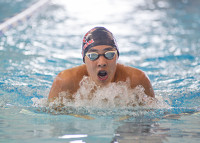
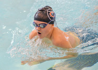
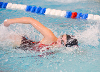
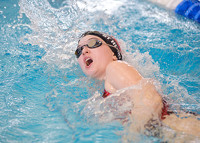
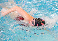
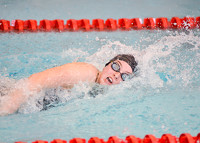
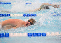
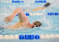
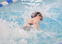
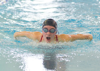
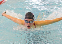
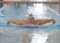
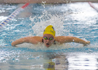
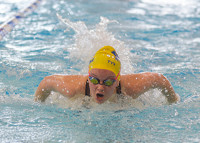
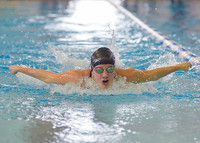
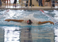
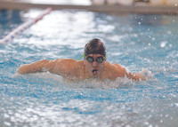
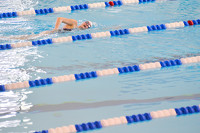
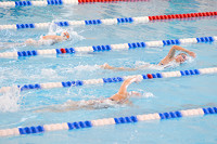
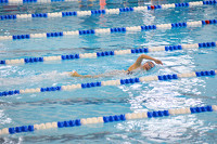
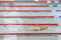
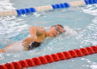
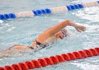
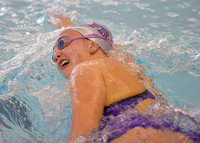
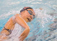
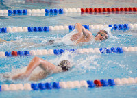
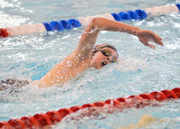
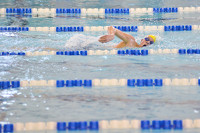
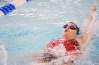
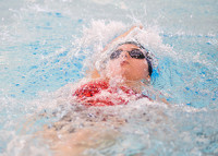
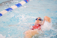
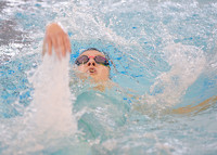
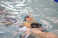
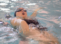
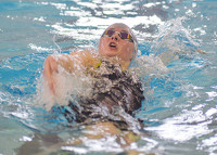
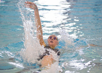
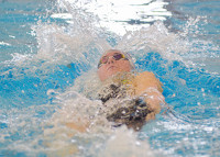
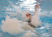
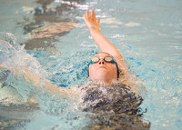
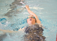
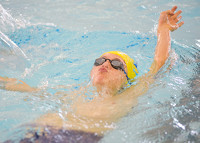
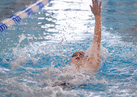
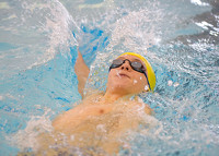
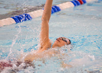
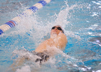
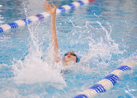
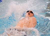
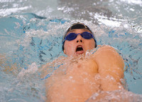
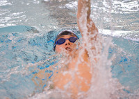
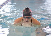
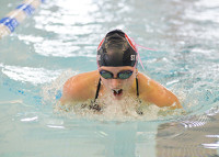
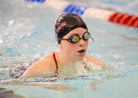
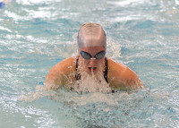
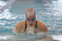
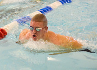
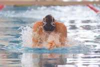
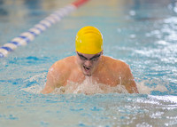
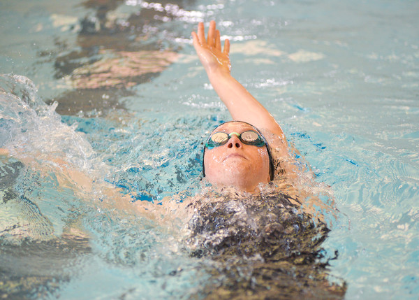
Cavalier Swim and Dive Invitational
84 of 102 pictures
Saturday, January 28th, 2023
Photo by Paige Sutter/The Daily Standard
Special Weather Statement issued May 2 at 11:34AM EDT by NWS Wilmington OH (details ...)
At 1134 AM EDT, a strong thunderstorm was located over Minster, moving east at 35 mph.
HAZARD...Wind gusts up to 40 mph, half inch hail, and very heavy rain.
SOURCE...Radar indicated.
IMPACT...Gusty winds could knock down tree limbs and blow around unsecured objects. Hail may cause minor damage to vegetation. Visibility will be poor and hydroplaning is possible.
Locations impacted include... Fryburg, Montra, New Bremen, Lake Loramie State Park, St. Johns, Botkins, Minster, Maplewood, Fort Loramie, Kettlersville, Mccartyville, Jackson Center, Swanders, Port Jefferson, Anna, and Sidney.
This includes I-75 in Ohio between mile markers 94 and 109.
If outdoors, consider seeking shelter inside a sturdy building.
Motorists should slow down and use extra caution.
To report hazardous weather conditions, go to our website at weather.gov/iln and submit your report via social media, when you can do so safely.
Today 72° Today 72° slight chance 53° 53° slight chance Tomorrow 57° Tomorrow 57° likely 48° 48° likely
thum pict
thum pict
thum pict
thum pict
thum pict
thum pict
thum pict
thum pict
thum pict
thum pict
thum pict
thum pict
thum pict
thum pict
thum pict
thum pict
thum pict
thum pict
thum pict
thum pict
thum pict
thum pict
thum pict
thum pict
thum pict
thum pict
thum pict
thum pict
thum pict
thum pict
thum pict
thum pict
thum pict
thum pict
thum pict
thum pict
thum pict
thum pict
thum pict
thum pict
thum pict
thum pict
thum pict
thum pict
thum pict
thum pict
thum pict
thum pict
thum pict
thum pict
thum pict
thum pict
thum pict
thum pict
thum pict
thum pict
thum pict
thum pict
thum pict
thum pict
thum pict
thum pict
thum pict
thum pict
thum pict
thum pict
thum pict
thum pict
thum pict
thum pict
thum pict
thum pict
thum pict
thum pict
thum pict
thum pict
thum pict
thum pict
thum pict
thum pict
thum pict
thum pict
thum pict
thum pict
thum pict
thum pict
thum pict
thum pict
thum pict
thum pict
thum pict
thum pict
thum pict
thum pict
thum pict
thum pict
thum pict
thum pict
thum pict
thum pict
thum pict
thum pict