Winter Storm Warning issued January 25 at 1:20PM EST until January 26 at 12:00PM EST by NWS Wilmington OH (details ...)
* WHAT...Heavy snow. Additional snow accumulations between 2 and 4 inches. * WHERE...Auglaize, Darke, Hardin, Logan, Mercer, and Shelby Counties. * WHEN...Until noon EST Monday. * IMPACTS...Travel will be very difficult. The hazardous conditions could impact the Monday morning commute.
Extreme Cold Warning issued January 25 at 11:18AM EST until January 27 at 12:00PM EST by NWS Wilmington OH (details ...)
* WHAT...For the Cold Weather Advisory, very cold wind chills as low as 15 below zero expected. For the Extreme Cold Warning, dangerously cold wind chills as low as around 25 below zero expected. * WHERE...Portions of east central and southeast Indiana, northeast and northern Kentucky, and central, south central, southwest, and west central Ohio. * WHEN...For the Cold Weather Advisory, from midnight tonight to 6 PM EST Monday. For the Extreme Cold Warning, from 6 PM Monday to noon EST Tuesday. * IMPACTS...The dangerously cold wind chills as low as 20 below zero could cause frostbite on exposed skin in as little as 30 minutes.
Cold Weather Advisory issued January 25 at 11:18AM EST until January 26 at 6:00PM EST by NWS Wilmington OH (details ...)
* WHAT...For the Cold Weather Advisory, very cold wind chills as low as 15 below zero expected. For the Extreme Cold Warning, dangerously cold wind chills as low as around 25 below zero expected. * WHERE...Portions of east central and southeast Indiana, northeast and northern Kentucky, and central, south central, southwest, and west central Ohio. * WHEN...For the Cold Weather Advisory, from midnight tonight to 6 PM EST Monday. For the Extreme Cold Warning, from 6 PM Monday to noon EST Tuesday. * IMPACTS...The dangerously cold wind chills as low as 20 below zero could cause frostbite on exposed skin in as little as 30 minutes.
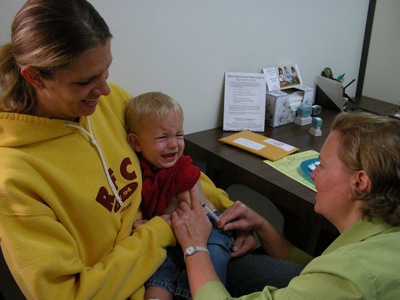
As more and more vaccines hit the market each year, questions about the safety and need for the long list of state recommended immunizations continues to rise.
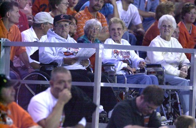
COLDWATER - Wheelchair-bound fans rooting for the Coldwater football team this year at Cavalier Stadium have been further welcomed with the addition of an $11,000 seating area.
Mercer County Commission-ers have agreed to sign a letter of support for the Grand Lake/ Wabash Watershed Alliance's bid to secure $900,000 in U.S. EPA grant money.
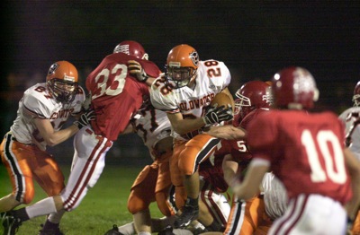
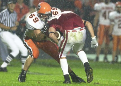
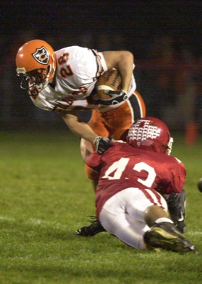
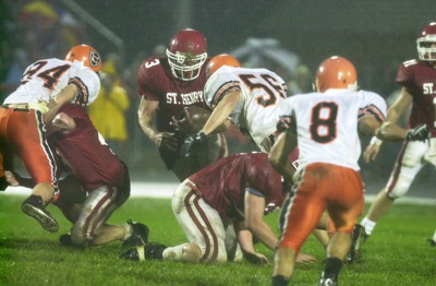
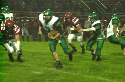
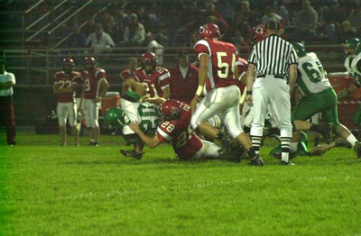
ST. HENRY - Coldwater used a dominating performance by its offensive and defensive lines on the way to handing St. Henry its first loss of the season in a battle of undefeated and state-ranked football teams on a soggy Friday night. [More]
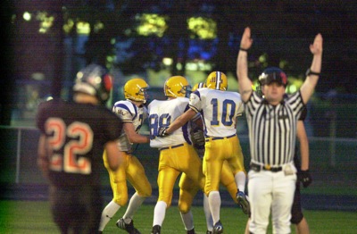
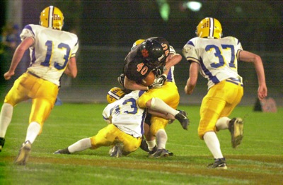
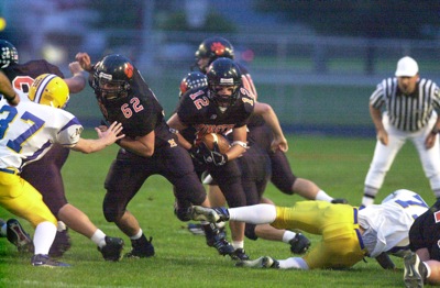
KENTON - Celina became the latest victim of the aerial assault of Dailyn Campbell as the Kenton Wildcats ran up 36 straight points to open the game en route to a 43-14 win at Robinson Field. [More]
ROCKFORD - There was as much lighting on the ground as in the sky on Friday night at Panther Stadium as Parkway broke a two-game losing streak with a 34-18 Midwest Athletic Conference win over New Bremen.
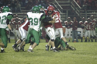
ANNA - Combine terrible weather, sloppy play, and a tough squad from Anna, and you'll get a feeling for how things went for Fort Recovery on Friday night.
VERSAILLES - Okay, so it's only week five of the 2006 football season but Friday night's Midwest Athletic Conference contest at Hole Field in Versailles was for all intents and purposes an a elimination game as the loser would fall two games behind in the league title chase.
MINSTER - When you watch football games on television, the announcers will often point out how the team winning the time of possession battle usually wins the game. [More]