Flood Warning issued August 20 at 9:12AM EDT until August 20 at 3:15PM EDT by NWS Wilmington OH (details ...)
* WHAT...Flooding caused by excessive rainfall is expected. * WHERE...Northeastern Auglaize County in west central Ohio... Southern Hardin County in west central Ohio... Northern Logan County in west central Ohio... * WHEN...Until 315 PM EDT Thursday. * IMPACTS...Flooding of rivers, creeks, streams, and other low-lying and flood-prone locations is imminent or occurring. * ADDITIONAL DETAILS... - At 911 AM EDT, local law enforcement reported flooding in Wapakoneta, southwest of Kenton, and throughout Logan County. Between 2 and 4 inches of rain have fallen. Flooding impacts will continue, but no additional rainfall is expected. - Some locations that may experience flooding include... Wapakoneta, Kenton, Russells Point, Lakeview, Waynesfield, Belle Center, West Mansfield, Chippewa Park, Northwood, Roundhead, Mount Victory, Rushsylvania, Mcguffey, Huntsville, Ridgeway, Uniopolis, State Route 195 at State Route 235, Jumbo, Walton and New Hampshire.
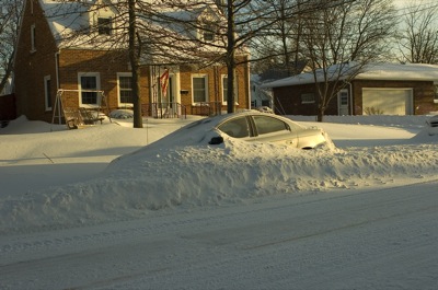
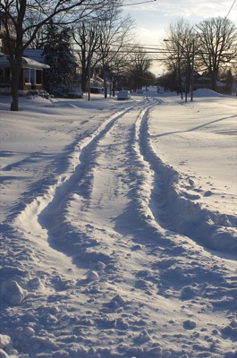
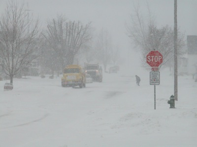
The Grand Lake area remained paralyzed this morning by Tuesday's blizzard that dumped up to a foot of snow and sent winds whipping and temperatures plunging overnight.
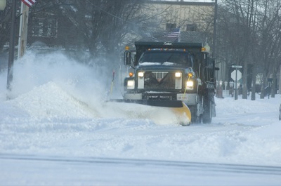
Many area businesses and government offices remained closed this morning, along with all area schools. Most county roads and city side streets remain impassable, and Mercer County remains under a Level 2 snow emergency. [More]
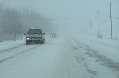
Hospitals, nursing homes and rescue squads faced a challenge as blizzard-like conditions slowed travel to a snail's pace in Mercer and Auglaize counties on Tuesday.
And hotels and motels throughout the area kept their doors open for people who chose not to brave treacherous roadways. [More]
The Lakefield Airport Authority and Mercer County commissioners are hoping to work together on separate expansion projects as a way to save money on both.