Special Weather Statement issued September 16 at 12:38AM EDT by NWS Wilmington OH (details ...)
At 1237 AM EDT, a strong thunderstorm was located near Berne, moving east at 30 mph.
HAZARD...Wind gusts up to 40 mph and pea size hail.
SOURCE...Radar indicated.
IMPACT...Gusty winds could knock down tree limbs and blow around unsecured objects. Hail may cause minor damage to vegetation.
Locations impacted include... Rockford, Mendon, Chattanooga, and Tama.
If outdoors, consider seeking shelter inside a sturdy building.
To report hazardous weather conditions, go to our website at weather.gov/iln and submit your report via social media, when you can do so safely.
70° 70° slight chance chance Wed 86° Wed 86° chance 69° 69° slight chance chance Thu 84° Thu 84° likely
Tuesday, June 10th, 2008
Photo by Janie Southard/The Daily Standard

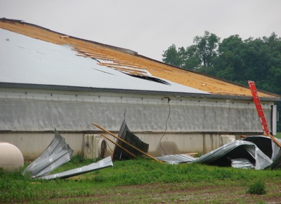
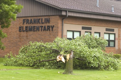
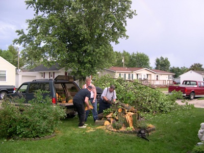
Roger Diller's hog barn in western Mercer County took a hit in Monday's storm as 40-50 feet of roofing was blown off. Other property owners in the Wabash area are dealing today with downed trees and blocked driveways.

Related online story:

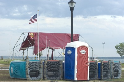
A second severe storm in less than four days brought hurricane force winds and knocked down trees and power poles across the Grand Lake area overnight Monday. [More]
Additional pictures on this date