Flood Watch issued September 16 at 10:49PM EDT until September 17 at 2:00PM EDT by NWS Wilmington OH (details ...)
* WHAT...Flash flooding caused by excessive rainfall continues to be possible.
* WHERE...Portions of east central Indiana, including the following county, Wayne and Ohio, including the following counties, Auglaize, Champaign, Clark, Darke, Delaware, Franklin, Greene, Hardin, Licking, Logan, Madison, Mercer, Miami, Montgomery, Preble, Shelby and Union.
* WHEN...Through Thursday afternoon.
* IMPACTS...Excessive runoff may result in flooding of rivers, creeks, streams, and other low-lying and flood-prone locations.
* ADDITIONAL DETAILS... - Multiple rounds of rain are possible Thursday. The heavier bands of rainfall may produce 2 to 4 inches with locally higher amounts.
68° 68° chance Thu 84° Thu 84° likely 65° 65° slight chance Fri 77° Fri 77°
Monday, July 2nd, 2012
Photo by Mark Pummell/The Daily Standard

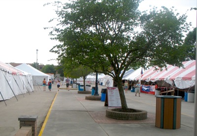
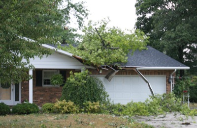
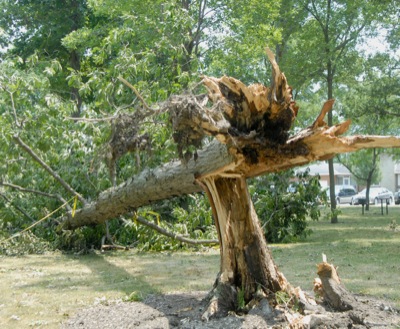
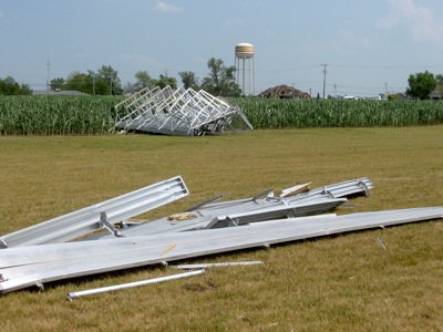
Celina city crews use a front loader on Sugar Street this morning to pick up debris. Celina Mayor Jeff Hazel said crews will be out most of the week picking up remnants from Friday's storm.

Related online story:


STAFF REPORTS
newsdept@dailystandard.com
Friday's line of storms began west of Chicago and included damaging winds that affected communities all the way to the Atlantic Coast. [More]
Additional pictures on this date