Special Weather Statement issued January 27 at 8:22AM EST by NWS Wilmington OH (details ...)
Gusty southwest winds will become westerly this afternoon. The strong winds and the recently fallen snow is resulting in some blowing and drifting snow, especially across rural and open areas. This may result in rapid changes in road conditions over short distances. Motorists should exercise extra caution.
Cold Weather Advisory issued January 27 at 2:29AM EST until January 28 at 12:00PM EST by NWS Wilmington OH (details ...)
* WHAT...For the Extreme Cold Warning, dangerously cold wind chills as low as 25 below zero. For the Cold Weather Advisory, very cold wind chills as low as 20 below zero expected. * WHERE...Portions of east central and southeast Indiana, northeast and northern Kentucky, and central, south central, southwest, and west central Ohio. * WHEN...For the Extreme Cold Warning, until noon EST today. For the Cold Weather Advisory, from 7 PM this evening to noon EST Wednesday. * IMPACTS...Dangerously cold wind chills as low as 20 below zero could cause frostbite on exposed skin in as little as 30 minutes.
Extreme Cold Warning issued January 27 at 2:29AM EST until January 27 at 12:00PM EST by NWS Wilmington OH (details ...)
* WHAT...For the Extreme Cold Warning, dangerously cold wind chills as low as 25 below zero. For the Cold Weather Advisory, very cold wind chills as low as 20 below zero expected. * WHERE...Portions of east central and southeast Indiana, northeast and northern Kentucky, and central, south central, southwest, and west central Ohio. * WHEN...For the Extreme Cold Warning, until noon EST today. For the Cold Weather Advisory, from 7 PM this evening to noon EST Wednesday. * IMPACTS...Dangerously cold wind chills as low as 20 below zero could cause frostbite on exposed skin in as little as 30 minutes.
Friday, October 26th, 2012
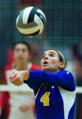
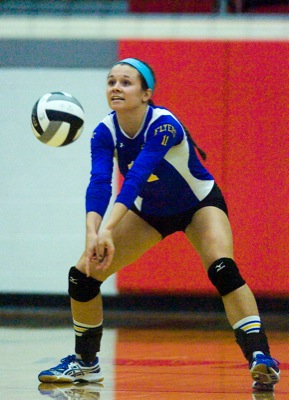
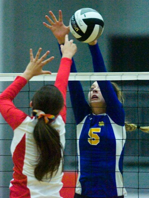
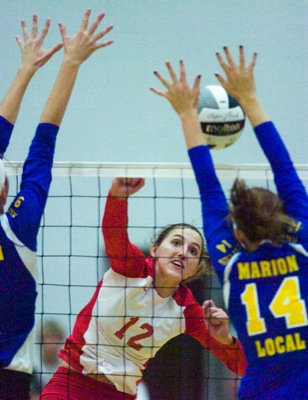
Photo by Mark Pummell/The Daily Standard
Marion Local's Hannah Arling sets the ball during Thursday's Division IV district final machup against St. Henry.