Special Weather Statement issued May 1 at 12:13PM EDT by NWS Wilmington OH (details ...)
At 1212 PM EDT, a strong thunderstorm was located near New Bremen, moving northeast at 50 mph.
HAZARD...Wind gusts up to 45 mph and pea size hail.
SOURCE...Radar indicated.
IMPACT...Gusty winds could knock down tree limbs and blow around unsecured objects. Hail may cause minor damage to vegetation.
Locations impacted include... Newport, Fryburg, Montra, Egypt, Uniopolis, New Bremen, Buckland, Botkins, New Knoxville, Fort Loramie, Kettlersville, Moulton, Jackson Center, St. Marys, Anna, Kossuth, Lakeview, Lake Loramie State Park, Waynesfield, and Wapakoneta.
This includes I-75 in Ohio between mile markers 96 and 118.
If outdoors, consider seeking shelter inside a sturdy building.
To report hazardous weather conditions, go to our website at weather.gov/iln and submit your report via social media, when you can do so safely.
Today 74° Today 74° 58° 58° chance Tomorrow 71° Tomorrow 71° chance 54° 54° chance
Thursday, March 13th, 2014
Photo by Mark Pummell/The Daily Standard

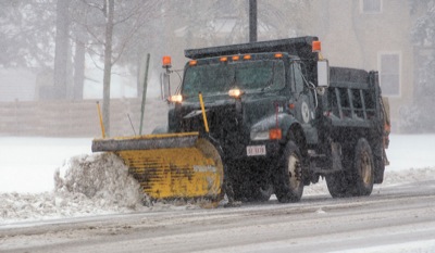
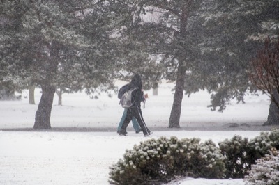
A city of Celina public works truck plows Main Street near the county library on Wednesday. Total snow accumulation this winter in the Grand Lake area has tied the record set in the winter of 1978.

Related online story:
CELINA - Keith Anderson trudged through the snow along North Main Street with his head down so the icy sleet didn't sting his red-cheeked face.
"I [More]
Additional pictures on this date