CELINA - The city needs to be more diligent in planning projects and initiatives, city councilman June Scott said Monday night at the regular council meeting, pointing out two recent oversights on the part of officials.
NEW BREMEN - Village administrator Wayne York will retire in 2016, and village council members will soon begin looking for his replacement.
At the
ST. MARYS - St. Marys officials and the city police sergeants have agreed to a new three-year contract that will run through 2017.
Director of public service and safety Gregory Foxhoven said the city was able to align the sergeants with other city personnel.
ST. HENRY - The Ohio Department of Agriculture is seeking public comments on a St. Henry hen-laying farm's draft permit to operate. This is a renewal of a permit ODA originally issued in 2004.
COLDWATER - Three property owners have expressed interest in trading land contiguous to Coldwater for land the village bought in Butler Township, village administrator/engineer Eric Thomas said at Monday's village council meeting.
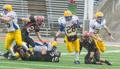
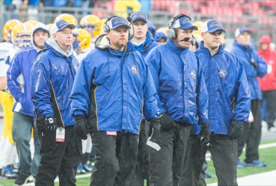
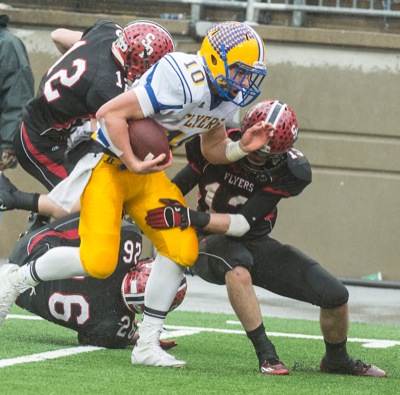
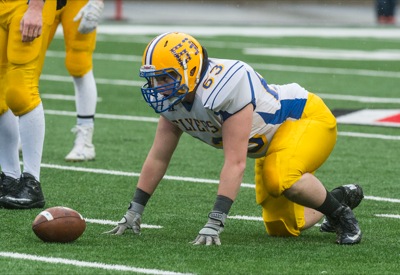
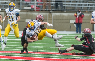
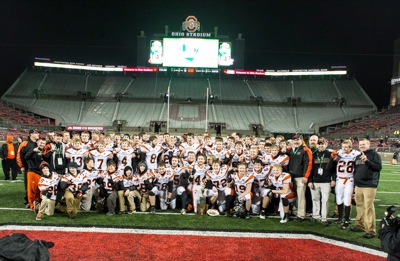
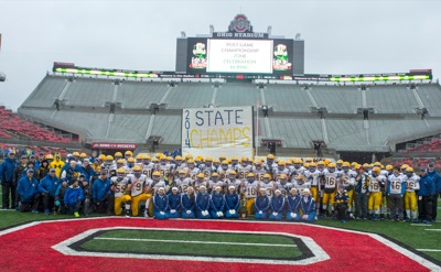
MARIA STEIN - The Marion Local Flyers Division VII state football champion team was commended during the board of education meeting Monday night.
The Flyers on Saturday won a fourth-straight title, which marks the eighth championship in school history.
ST. HENRY - School board officials on Monday night retained its current pay rate for next year.
The board approved its compensation for next year at $50 a meeting, not to exceed 18 meetings.
ST. HENRY - Village council members on Monday night passed second reading of an ordinance giving village employees a raise in 2015.
If approved, t
Razz-Eye View
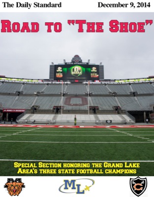
It's taken a couple of days to firmly grasp what a tremendous weekend this area had in Columbus.
For the first time in state finals history, a conference has won three state football titles in the same season, adding another chapter to the stellar history of the Midwest Athletic Conference.

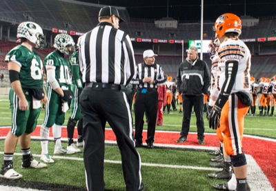
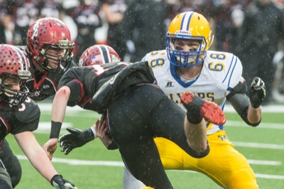
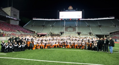
COLUMBUS - Once again, a quarterback named Hoying shined on the field at Ohio Stadium.
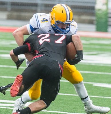
Coldwater standout Brody Hoying capped off his high school playing career with a masterful and dominating performance in the Division V state championship game Saturday night against Canton Central Catholic.
REGULAR SEASON
Coldwater 24,
Kenton 2
The Cavaliers opened the season with a little payback by defeating the Wildcats. Kenton defeated Coldwater
State Championship Notebook
By GARY R. RASBERRY and
COLIN FOSTER
The Daily Standard
BEST TO BE THE GUEST - With Coldwater's win in the Division V game, teams designated as the visitors were a perfect 7-for-7 in state championships games over the weekend.

Flyer senior leaves incredible mark on program
COLUMBUS - On Dec. 3, 2011, Marion Local freshman Jacy Goettemoeller suited up for his first state finals appearance at Canton's Fawcett Stadium. He
REGULAR SEASON
Marion Local 47,
Shawnee 0
Returning to the field for the first time this year as defending state champions, the Flyers made short
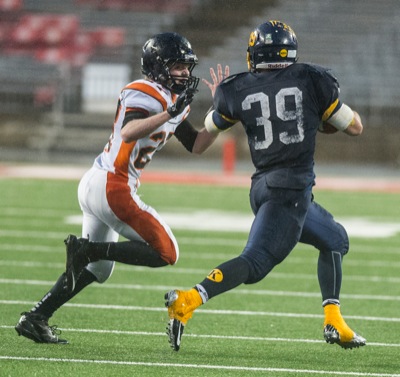
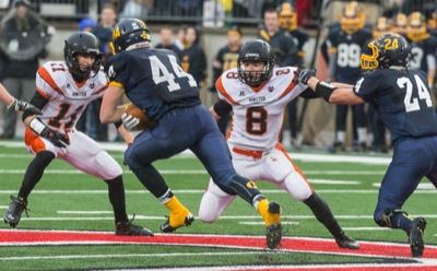
COLUMBUS - Austin Brackman was still on the minds of the Minster players and community members on the day of the Division VI state championship.
A
REGULAR SEASON
Minster 34,
Fort Loramie 0
The Wildcats routed the Redskins to open the season which began a stretch of seven straight games again
A year-by-year list of MAC state football champions (Note: List does not include state titles won by Versailles before they joined the conference in