Flood Watch issued August 14 at 2:57PM EDT until August 16 at 8:00AM EDT by NWS Wilmington OH (details ...)
* WHAT...Flash flooding caused by excessive rainfall is possible.
* WHERE...Portions of Indiana, including the following counties, Fayette, Franklin, Union and Wayne and Ohio, including the following counties, Auglaize, Butler, Champaign, Clark, Clinton, Darke, Delaware, Fairfield, Fayette, Franklin, Greene, Hardin, Hocking, Licking, Logan, Madison, Mercer, Miami, Montgomery, Pickaway, Preble, Ross, Shelby, Union and Warren.
* WHEN...From Saturday afternoon through Sunday morning.
* IMPACTS...Excessive runoff may result in flooding of rivers, creeks, streams, and other low-lying and flood-prone locations.
* ADDITIONAL DETAILS... - Another round of showers and thunderstorms is expected to move through the region Saturday into Saturday night. Given the saturated ground, additional heavy rainfall may result in flash flooding.
Today 82° Today 82° likely chance 70° 70° chance Tomorrow 84° Tomorrow 84° chance 74° 74° chance likely
Monday, May 3rd, 2021
File Photo/The Daily Standard

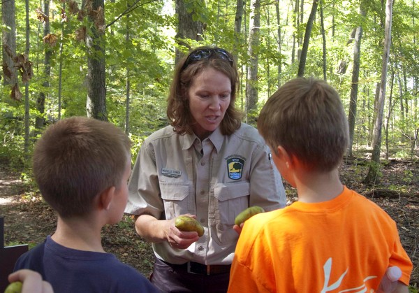
Ohio Department of Natural Resources employee Michelle Comer holds up some pawpaws to show two boys taking part in a walk through Baker Woods Nature Preserve in this September 2013 file photo.

Related online story:

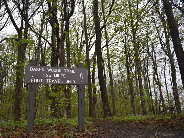
COLDWATER - Baker Woods State Nature Preserve has joined the ranks of the oldest know forests in the nation.
The woods, located at 4316 Saint Antho [More]
Additional pictures on this date