Special Weather Statement issued May 1 at 12:13PM EDT by NWS Wilmington OH (details ...)
At 1212 PM EDT, a strong thunderstorm was located near New Bremen, moving northeast at 50 mph. HAZARD...Wind gusts up to 45 mph and pea size hail. SOURCE...Radar indicated. IMPACT...Gusty winds could knock down tree limbs and blow around unsecured objects. Hail may cause minor damage to vegetation. Locations impacted include... Newport, Fryburg, Montra, Egypt, Uniopolis, New Bremen, Buckland, Botkins, New Knoxville, Fort Loramie, Kettlersville, Moulton, Jackson Center, St. Marys, Anna, Kossuth, Lakeview, Lake Loramie State Park, Waynesfield, and Wapakoneta. This includes I-75 in Ohio between mile markers 96 and 118. If outdoors, consider seeking shelter inside a sturdy building. To report hazardous weather conditions, go to our website at weather.gov/iln and submit your report via social media, when you can do so safely.
Saturday, March 16th, 2024
Photo by Ryan Snyder/The Daily Standard
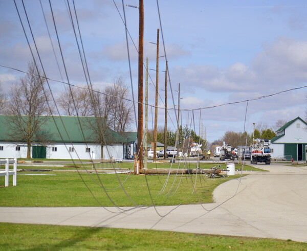
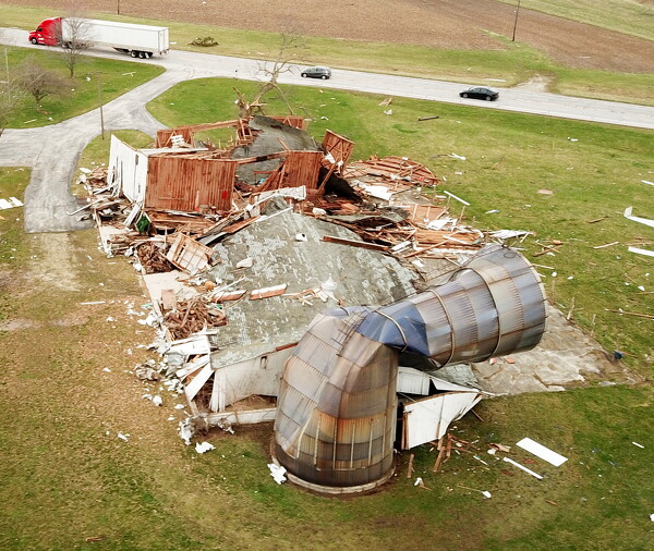
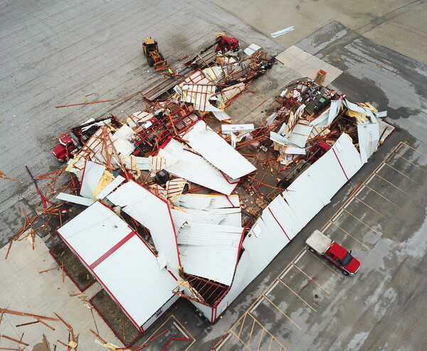
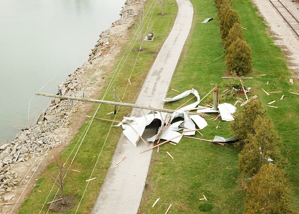
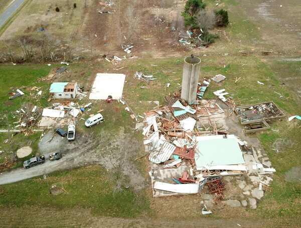
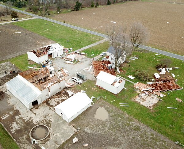
Power transmission lines lay on the ground through the Mercer County Fairgrounds. Electric crews from Tipp City and Wapakoneta assist Celina Utilities to plant new poles and repair the lines.
CELINA - Two EF1 tornadoes packing winds up to 110 mph tore through Mercer County on Thursday evening, the National Weather Service in Wilmington confirmed on Friday. [More]