Special Weather Statement issued June 6 at 9:56AM EDT by NWS Wilmington OH (details ...)
At 955 AM EDT, a strong thunderstorm was located over Fort Recovery, moving east at 60 mph.
HAZARD...Wind gusts up to 45 mph.
SOURCE...Radar indicated.
IMPACT...Gusty winds could knock down tree limbs and blow around unsecured objects.
Locations impacted include... Greenville, Celina, Wapakoneta, St. Marys, Coldwater, New Bremen, Minster, Versailles, Covington, St. Henry, Newport, Bradford, Union City, Fort Loramie, Fort Recovery, Ansonia, Botkins, New Knoxville, Moulton, and Webster.
This includes I-75 in Ohio between mile markers 105 and 110.
If outdoors, consider seeking shelter inside a sturdy building.
To report hazardous weather conditions, go to our website at weather.gov/iln and submit your report via social media, when you can do so safely.
Today 82° Today 82° likely 67° 67° slight chance Tomorrow 81° Tomorrow 81° slight chance 67° 67° slight chance
Wednesday, January 14th, 2009
Slide
Photo by Mark Pummell/The Daily Standard

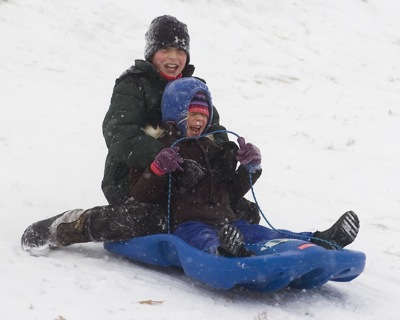
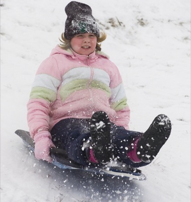
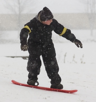
Derrick Spitler, 10, and Emmy Spitler, 5, sled together down the hill at Eastview Park in Celina. Youngsters enjoyed the snow Tuesday afternoon before below-zero temperatures hit the Grand Lake area. Local weather forecaster Dennis Howick predicts a high of 8 degrees Thursday and 4 degrees Friday, with low temperatures down to minus 6 degrees. Temperatures are predicted to be back into the mid 20s by Sunday. Howick also predicts another 2 to 4 inches of snow today.

Additional pictures on this date