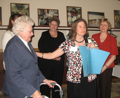
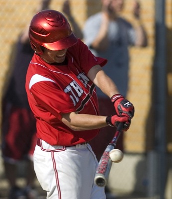
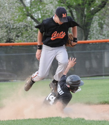
Winter Storm Watch issued January 22 at 1:34PM EST until January 26 at 1:00AM EST by NWS Wilmington OH (details ...)
* WHAT...Heavy snow possible. Total snow accumulations between 4 and 7 inches possible. * WHERE...Auglaize, Darke, Hardin, Logan, Mercer, and Shelby Counties. * WHEN...From Saturday morning through late Sunday night. * IMPACTS...Travel could be very difficult.
Cold Weather Advisory issued January 22 at 12:34PM EST until January 23 at 12:00PM EST by NWS Wilmington OH (details ...)
* WHAT...Very cold wind chills as low as 13 below zero expected. * WHERE...In Indiana, Wayne County. In Ohio, Auglaize, Darke, Hardin, Logan, Mercer, and Shelby Counties. * WHEN...From 6 AM to noon EST Friday. * IMPACTS...Wind chill values can lead to hypothermia with prolonged exposure. * ADDITIONAL DETAILS...While temperatures are expected to be in the upper single digits (above zero), a northwest wind at 10-15 mph will make temperatures feel as if they are colder than 10 below zero.
Wednesday, May 6th, 2009
Photo by Mark Pummell/The Daily Standard
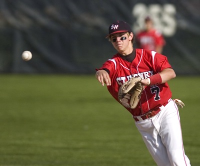
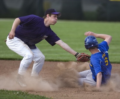
St. Henry's Brad Kremer throws the ball to first base for an out during Tuesday's MAC contest against Coldwater at the Wally Post Athletic Complex. St. Henry won the game 4-1.
ST. HENRY - The Midwest Athletic Conference baseball race got a lot tighter thanks to an impressive performance by John Dorner's St. Henry Redskins on Tuesday. [More]