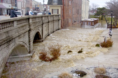
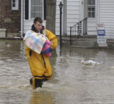
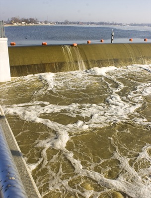
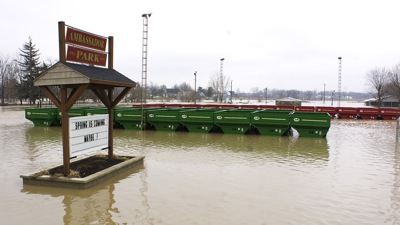
Special Weather Statement issued May 1 at 12:13PM EDT by NWS Wilmington OH (details ...)
At 1212 PM EDT, a strong thunderstorm was located near New Bremen, moving northeast at 50 mph.
HAZARD...Wind gusts up to 45 mph and pea size hail.
SOURCE...Radar indicated.
IMPACT...Gusty winds could knock down tree limbs and blow around unsecured objects. Hail may cause minor damage to vegetation.
Locations impacted include... Newport, Fryburg, Montra, Egypt, Uniopolis, New Bremen, Buckland, Botkins, New Knoxville, Fort Loramie, Kettlersville, Moulton, Jackson Center, St. Marys, Anna, Kossuth, Lakeview, Lake Loramie State Park, Waynesfield, and Wapakoneta.
This includes I-75 in Ohio between mile markers 96 and 118.
If outdoors, consider seeking shelter inside a sturdy building.
To report hazardous weather conditions, go to our website at weather.gov/iln and submit your report via social media, when you can do so safely.
Today 74° Today 74° 58° 58° chance Tomorrow 71° Tomorrow 71° chance 54° 54° chance
Tuesday, March 1st, 2011
Photo by Amy Kronenberger/The Daily Standard

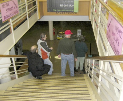
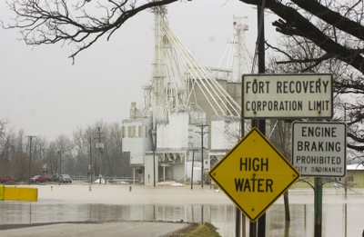
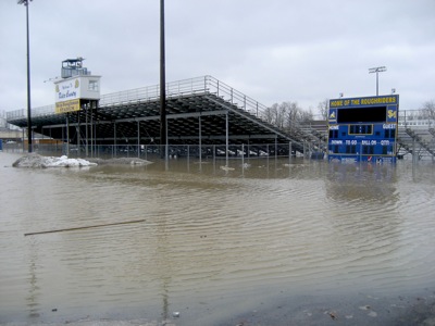
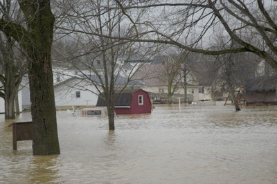
St. Marys Trading Post owners Larry and Diane Kramer and local residents prepare to wade through rising water in the business basement to save some merchandise. On Monday afternoon the couple measured more than two feet of water in the basement.

Related online story:
By STAFF REPORTS
newsdept@dailystandard.com
The St. Marys River spilled over its banks on Monday and into the back doors of many businesses on Spring Street in downtown St. Marys. [More]
Additional pictures on this date