Special Weather Statement issued June 6 at 9:56AM EDT by NWS Wilmington OH (details ...)
At 955 AM EDT, a strong thunderstorm was located over Fort Recovery, moving east at 60 mph.
HAZARD...Wind gusts up to 45 mph.
SOURCE...Radar indicated.
IMPACT...Gusty winds could knock down tree limbs and blow around unsecured objects.
Locations impacted include... Greenville, Celina, Wapakoneta, St. Marys, Coldwater, New Bremen, Minster, Versailles, Covington, St. Henry, Newport, Bradford, Union City, Fort Loramie, Fort Recovery, Ansonia, Botkins, New Knoxville, Moulton, and Webster.
This includes I-75 in Ohio between mile markers 105 and 110.
If outdoors, consider seeking shelter inside a sturdy building.
To report hazardous weather conditions, go to our website at weather.gov/iln and submit your report via social media, when you can do so safely.
Today 82° Today 82° likely 67° 67° slight chance Tomorrow 81° Tomorrow 81° slight chance 67° 67° slight chance
Wednesday, June 28th, 2017
Photo by Nick Wenning/The Daily Standard

St. Marys Austin Wilker, 3, beats the throw home as Bath catcher Jerimiah Bolon awaits the throw.

Related online story:
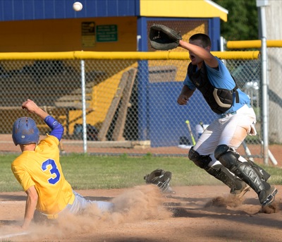
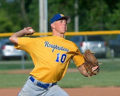
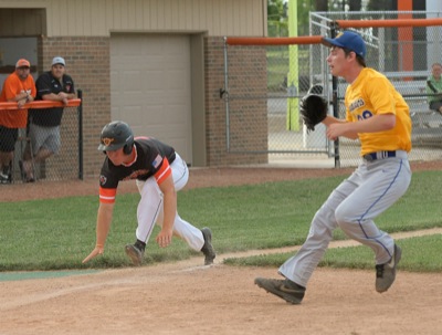
ST. MARYS - St. Marys coach Brian Beam expected Braeden Dunlap to go the distance on Tuesday.
"He's not going to be here for us in the sectionals, so this was his last game and he was going the distance regardless of what pitch count he was at," Beam said. [More]
Additional pictures on this date